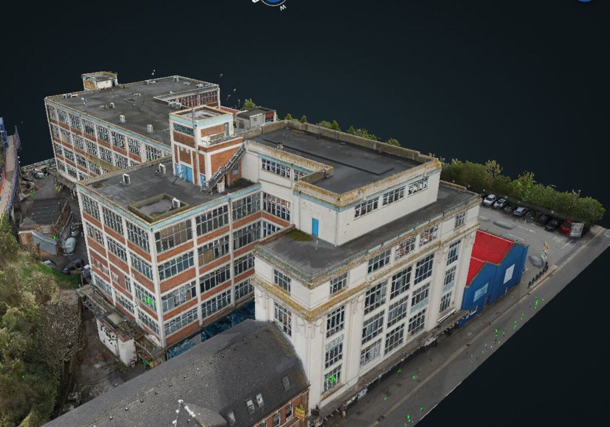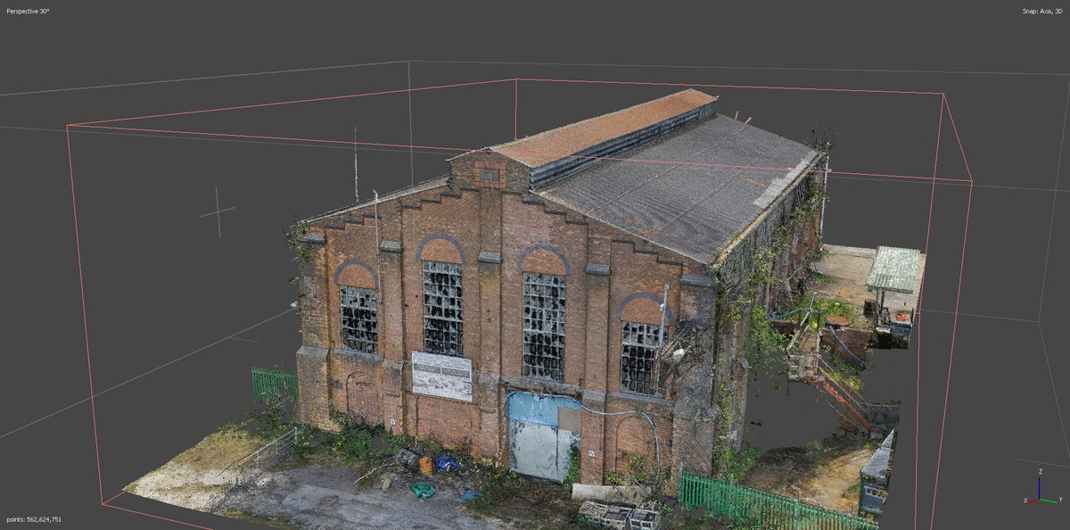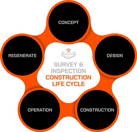
Geospatial information and intelligence is the cornerstone of strategic construction planning. Understanding a site’s unique limitations and conditions, whether it’s a greenfield site or existing structure, is crucial for making informed decisions. This understanding is used to assess the suitability of the site for desired future use or function.
Striking the right balance is key: gather comprehensive data while ensuring the granularity needed for insightful analysis. This data can range from existing maps and photographs to detailed surveys of land use, ownership, and specific areas of interest.
Presenting comprehensive geospatial data for site assessment, enables informed analysis and considered decisions to be made, which ultimately sets a project on its first steps from concept to reality.
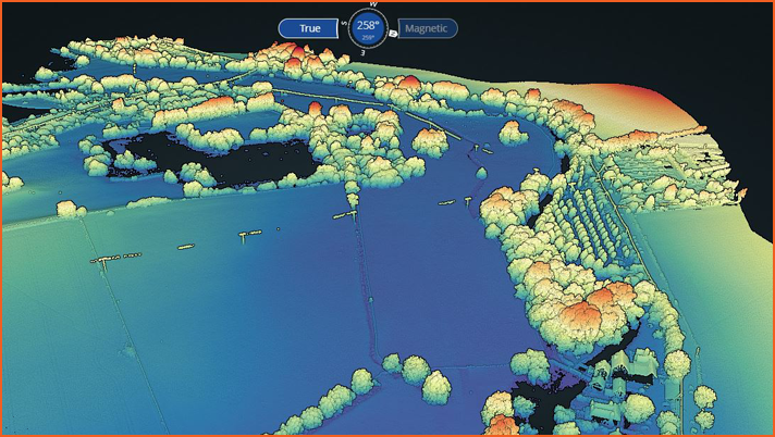
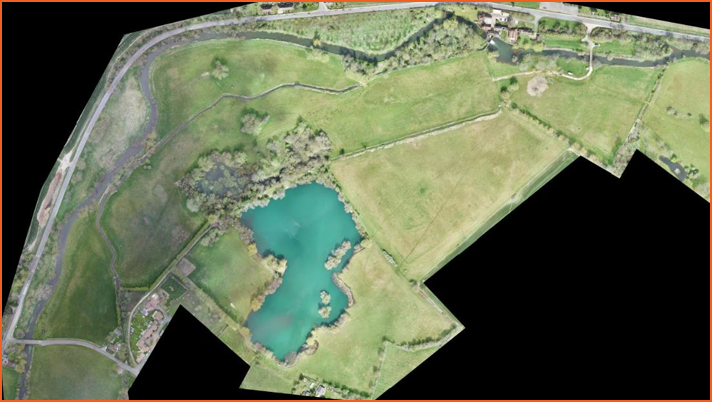

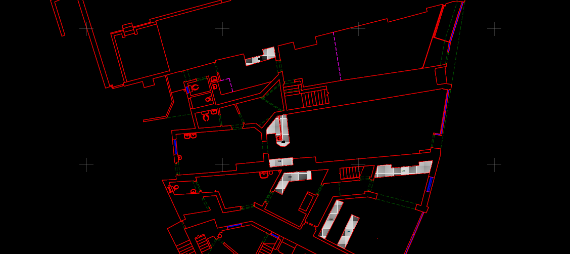
The design stage is where we translate the geospatial information gathered in the previous phase into a concrete plan. During this crucial stage, the level of detail, information density, and accuracy significantly increase. This can involve the extraction of additional information from the existing data asset or undertaking additional survey work on site.
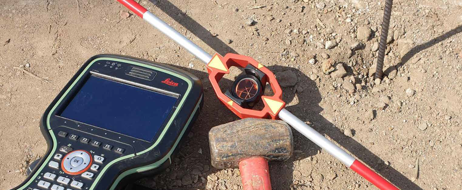
More focused topographical surveys and utility surveys by GNSS and total station along with higher accuracy measured surveys by 3D laser scanning can also be used.
By leveraging this enriched data, we can translate site analysis into a comprehensive design that forms the blueprint for construction projects.
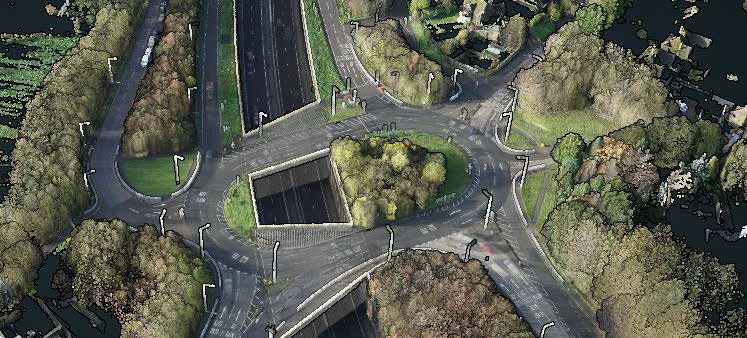

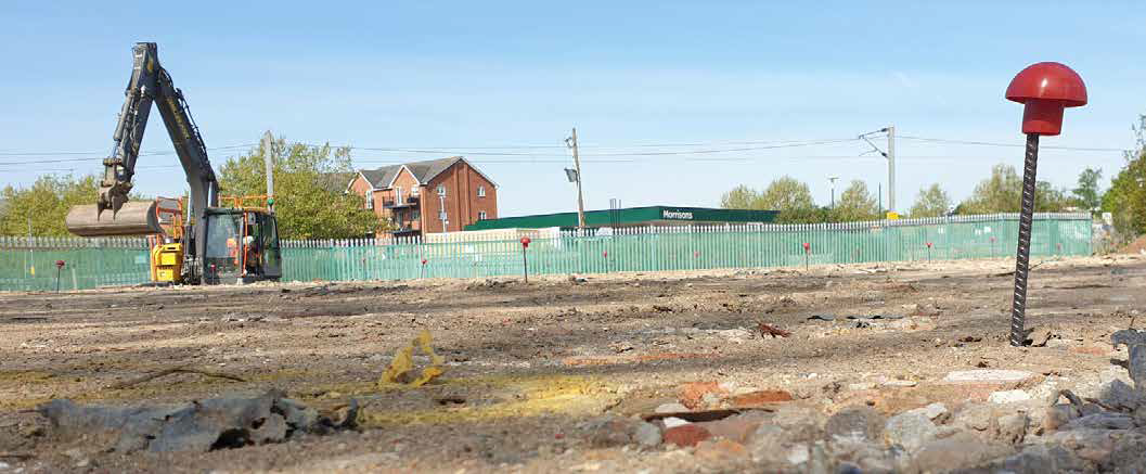
The construction phase is the exciting stage where the design transforms from digital plans to a tangible reality. This involves precise execution and ongoing monitoring to ensure everything goes according to plan.
Structural and environment monitoring may be needed for works in progress, adjacent infrastructure and other buildings at crucial points of the build. Intermittent data capture is also completed to record progress and as-built information to inform any design adjustments.
By meticulously transferring design information, actively monitoring progress, and capturing crucial data, paves the way for a successful project completion.

Once construction wraps up, the story doesn’t end. As-built plans, captured throughout or upon completion, become crucial operational documentation. These detailed plans depict the final, built state of the entire project, or specific elements as needed.
As the project enters its operational phase, maintenance needs and unforeseen challenges may arise. This is where intermittent surveys and inspections come into play. Their findings can inform repairs, replacements, or modifications to ensure the project’s continued functionality and safety.
Capture methods used at this stage include:
Longer term structural and environmental monitoring may also be needed.
Deliverables include:
All these will inform on the performance and changing operational nature of the completed project.
By utilising these tools and techniques beyond completion, we can ensure projects thrive throughout their operational life, maximising its value and longevity.
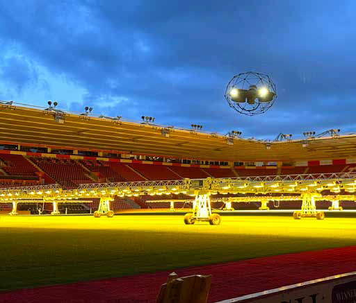
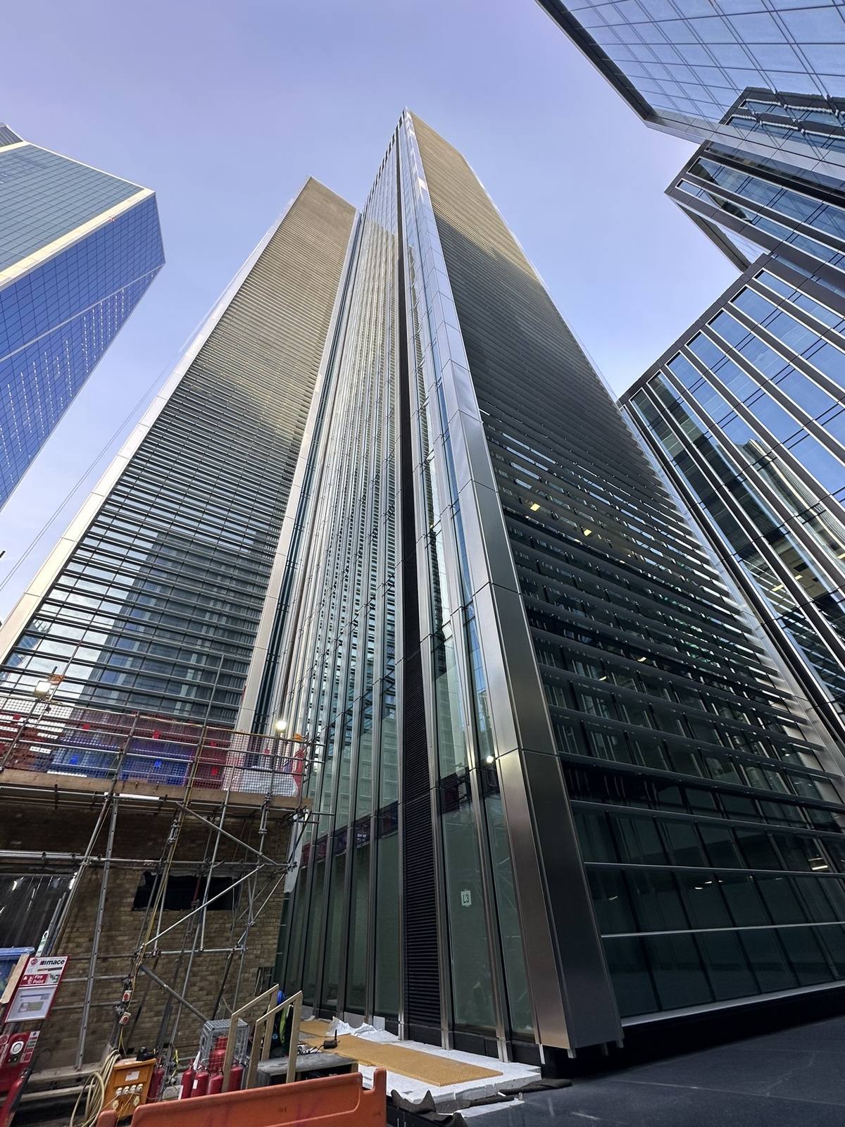

Construction isn’t always about building new. The “end-of-life” phase of a construction life cycle focuses on reusing, refurbishing, or replacing existing structures. This involves carefully assessing the site’s potential for a second life.
Options usually include renovation, retrofitting, adaption or demolition, depending on the site’s condition and potential. Both condition assessment and spatial measurement contribute to these options. The technique and level of detail can be agreed based on the chosen outcome.
Tailored data capture includes:
Deliverables include:
By employing these methods, we can effectively evaluate an existing structure’s potential, facilitating informed decisions about its future and paving the way for a sustainable and responsible approach to construction.
