Construction
Energy
Environment
Oil & Gas
Utilities
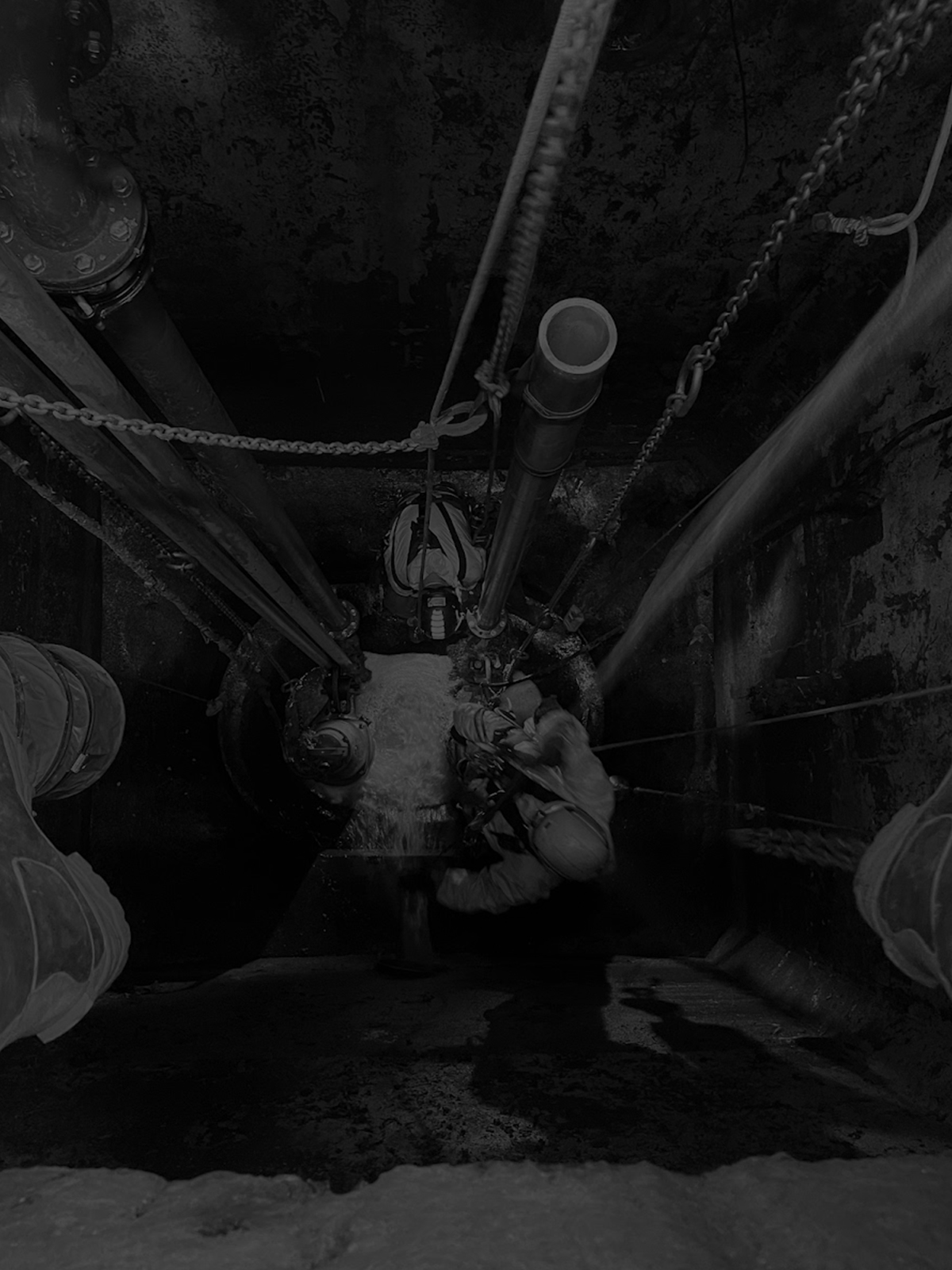
Using a blend of state-of-the-art technology and traditional survey techniques, we can work across any industry or project – no matter how complex or hazardous the environment.
Clients choose us because they know we bring expertise, efficiency and creative thinking to their projects.
Cutting-edge expertise: Our team of seasoned professionals have extensive experience in the survey and inspection sector. Our unparalleled expertise, together with our focus on using the best tools for the job – high tech or traditional – ensures that we consistently deliver high-quality results.
Custom-designed service: Every project has unique requirements and challenges. As proven problem solvers, we work closely with clients to develop bespoke solutions that meet those specific needs. That solution will meet budget, time and data constraints without compromising the quality of information or the detail of reporting.
A trusted partner: Our reputation for delivering high-quality, reliable services has earned us the trust of numerous energy, utilities, and construction sector clients throughout the UK. Our clients know we are available to deliver what they need, when they need it, and we work hard to make sure we exceed expectations
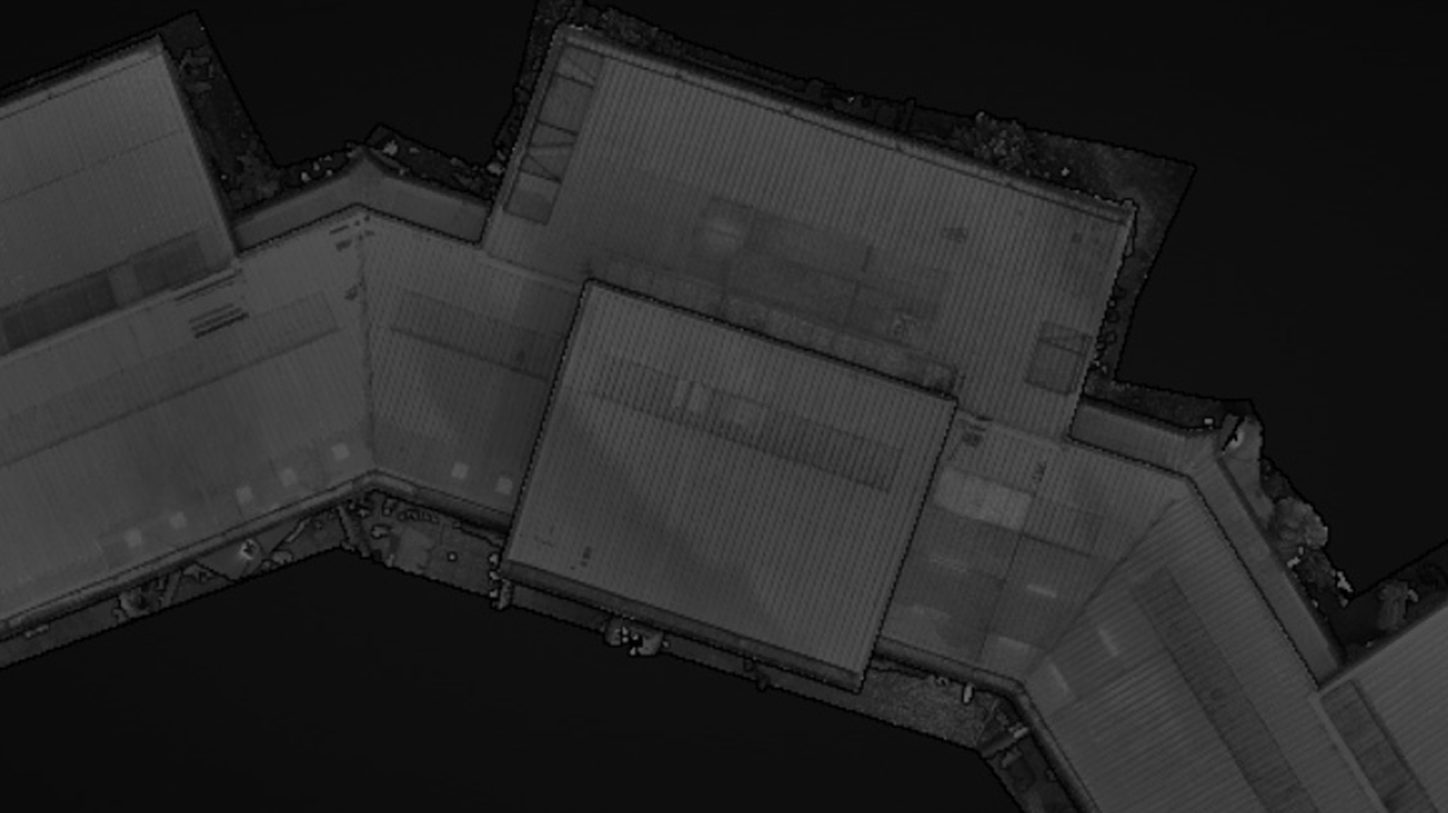
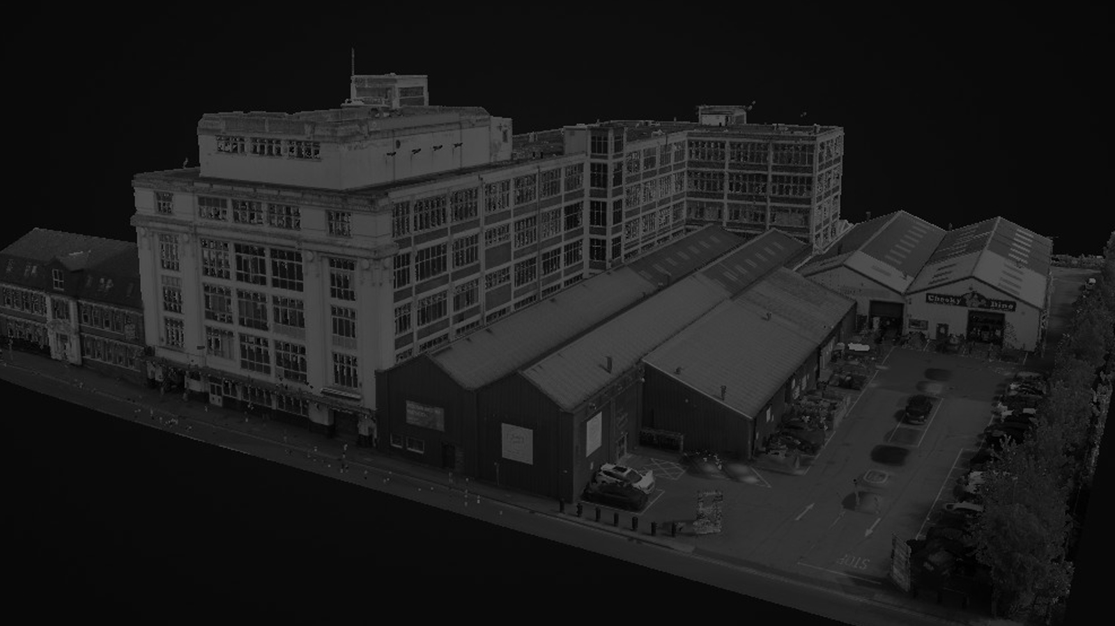
Advanced technology – from the visual accuracy of UAS to the latest in reporting and collaborative project software, we believe in using and sharing the very latest in advanced technology. By choosing to work with TEXO Survey & Inspection, you’re choosing to work with industry leaders who understand how to help you run an efficient, effective project.


Multi-skilled and accredited personnel, with the ability to perform and quantify a wide range of inspection and survey techniques

Texo DSI carry our enhanced DBS checks on all operational staff as well as boasting security cleared personnel capable of operating across officially sensitive sectors

We care about our clients needs and will always endeavor to assist to the best we can offering professional and competent advice

Our work is performed to the strictest adherence of ALL required safety protocols, both within Texo DSI and the relevant, external authorities, with regards to personnel accreditation, equipment certification and project delivery

Continuously developing and investing in our personnel & technology to ensure the highest standards

Fully integrated ISO management system complaint to 9001:2015, 14001:2015 & 45001:2018

We operate a field deployed and on-site engineer facility. Our operations support vehicles provide immediate power and visual back up for our teams and clients

Operating the latest software applications in conjunction with our TEXZONE client portal. We deliver your acquired data from the field efficiently and securely

We work alongside our commercial and educational partners to constantly develop our data delivery systems and protocols