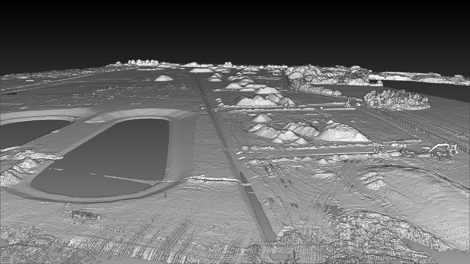
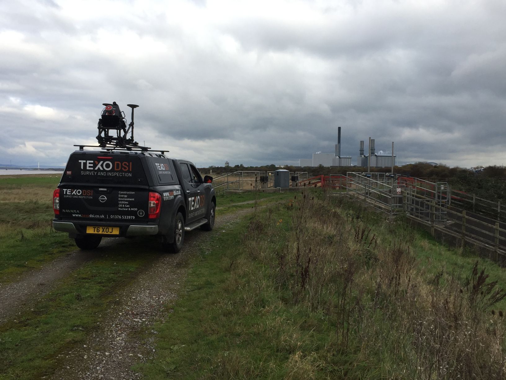
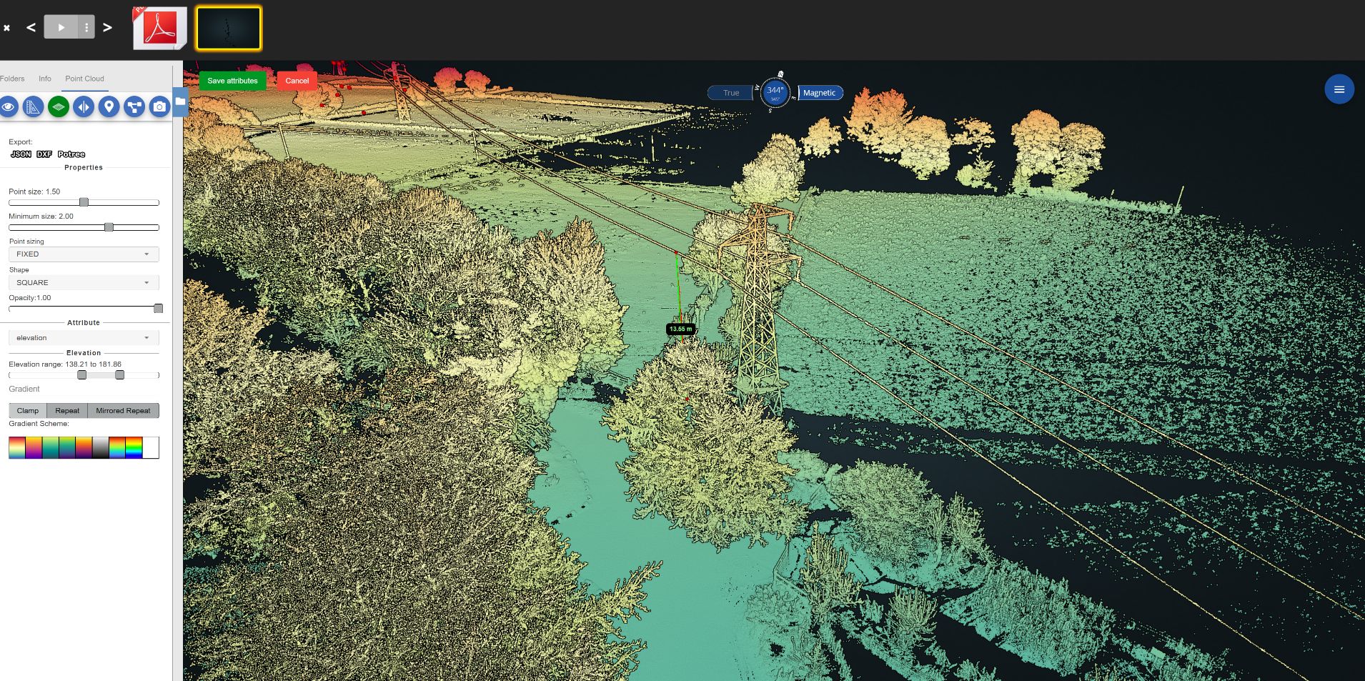
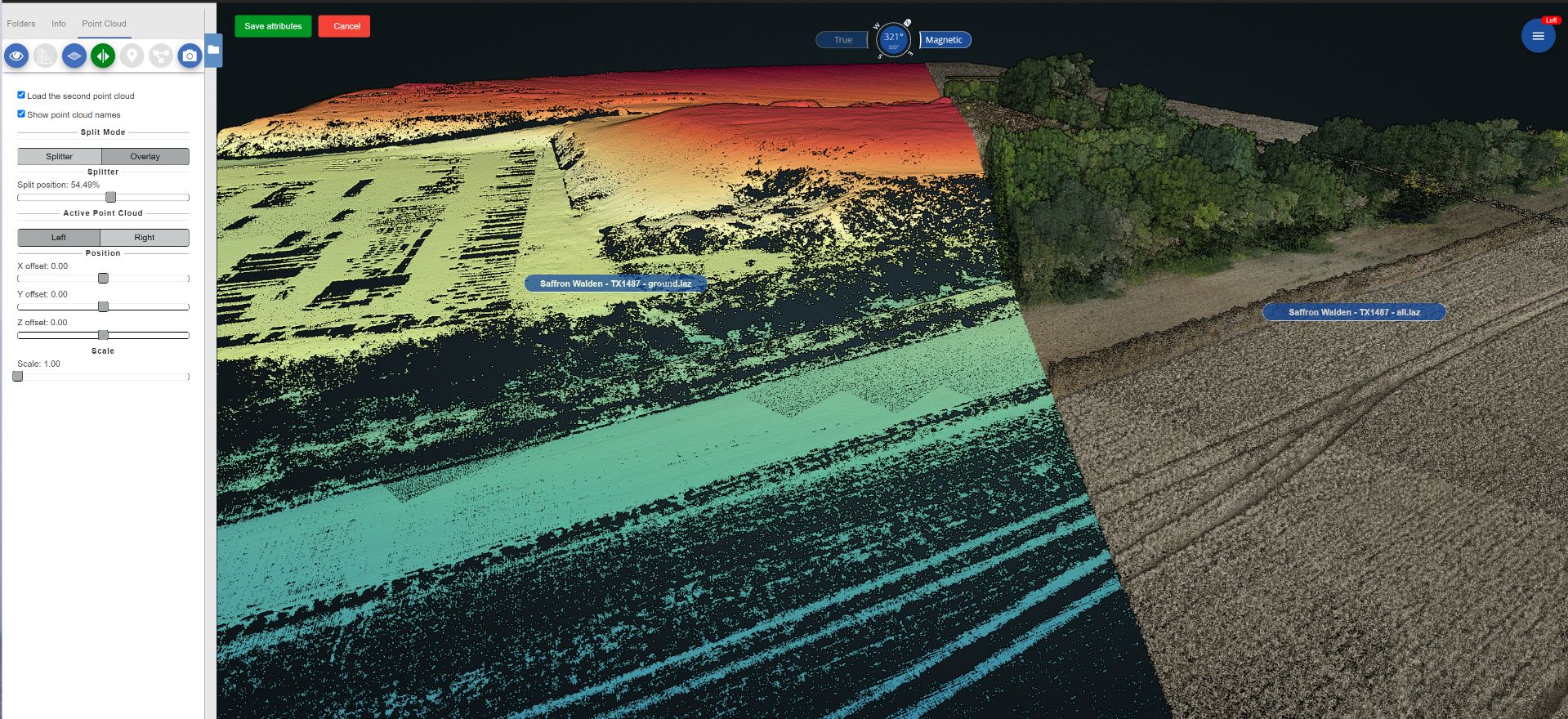
Mobile LiDAR mapping which allows TEXO Survey & Inspection to collect large quantities of highly accurate data efficiently, remotely and precisely. The relative accuracy of our system is 5mm ensuring you have the most accurate dataset to progress your project. All our data is geo-referenced to your project requirements.
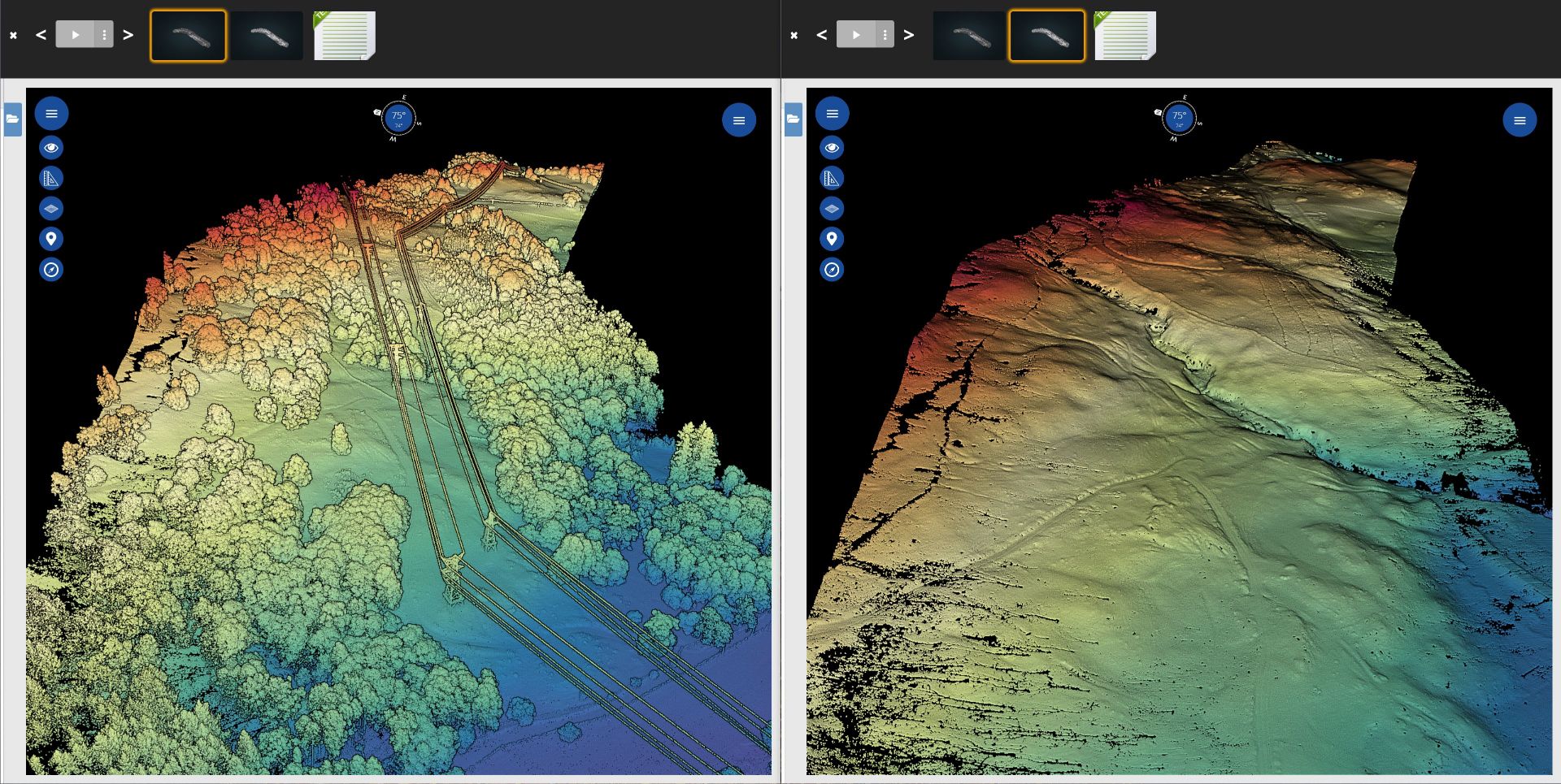
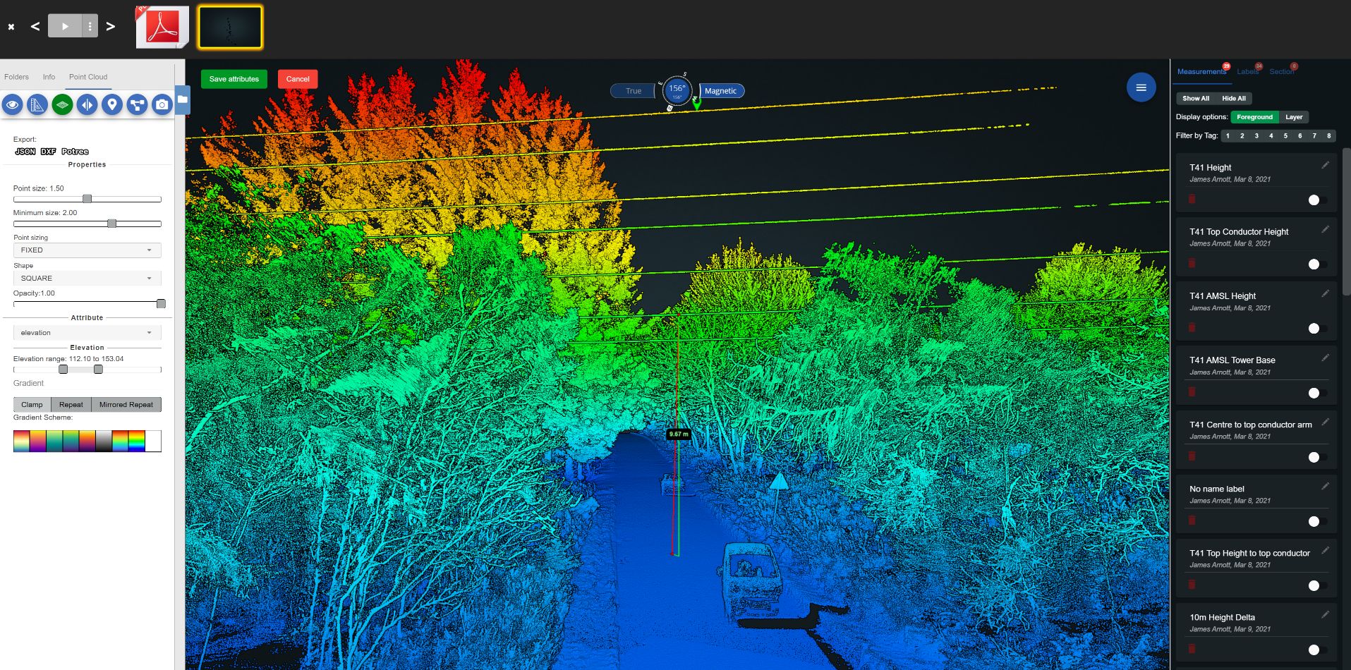
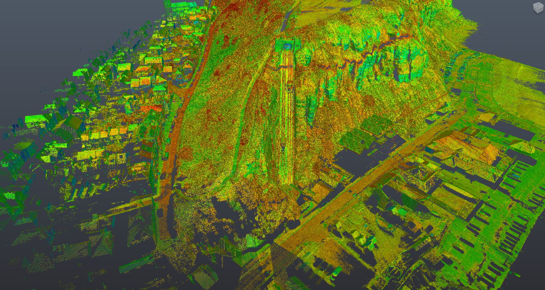
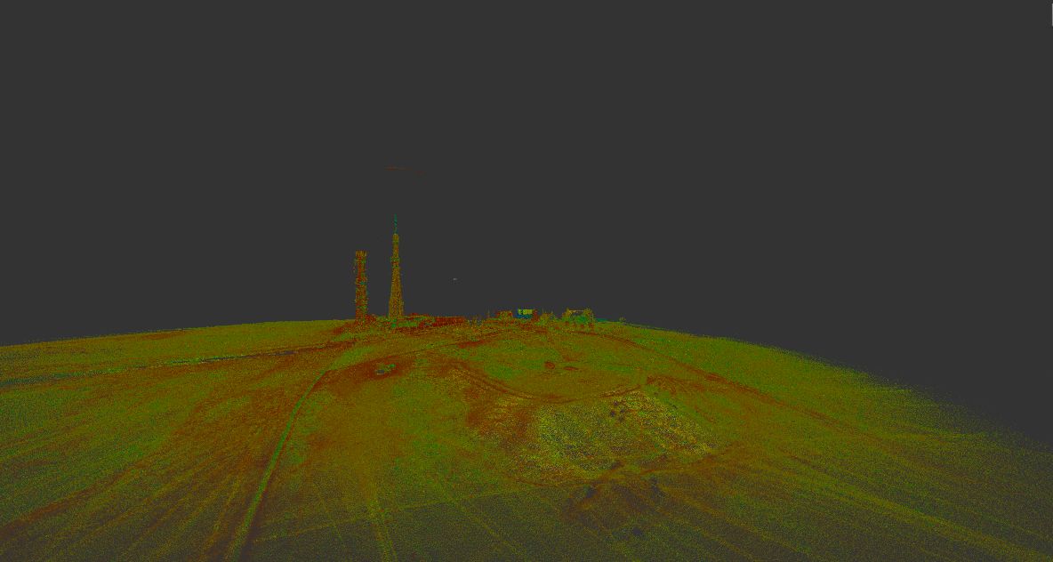
We can create a 3D point cloud of up to 60 hectares a day! It is possible to collect information beneath foliage and tree canopies, enabling us to create highly accurate digital terrain models for flood mapping, tree mapping in forested areas and utility line mapping.
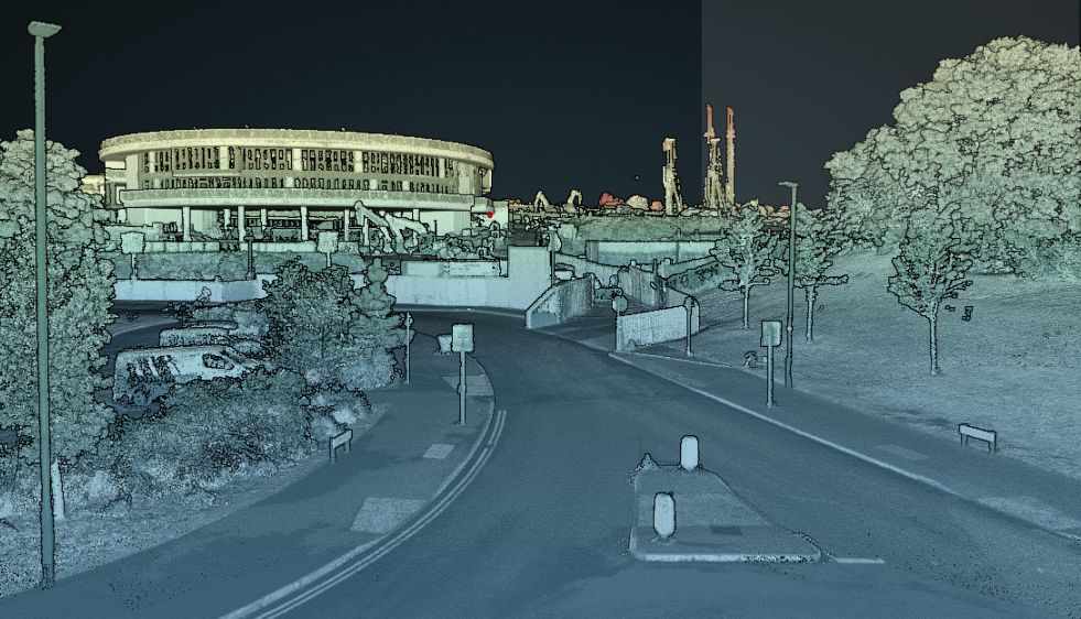
We can collect billions of points on road surfaces and their surrounding environments in a matter of hours, up to 50km a day. We use this data for highway topographic surveys, street scene elevations and 3D modelling of structures.