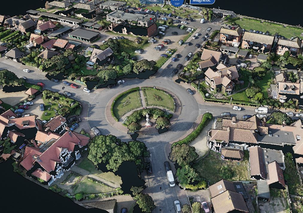
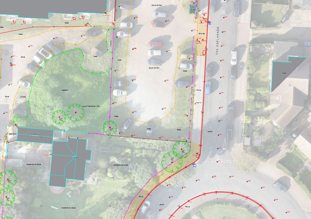
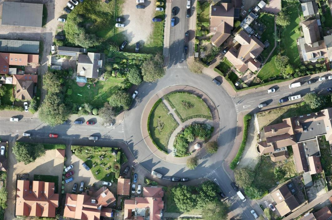
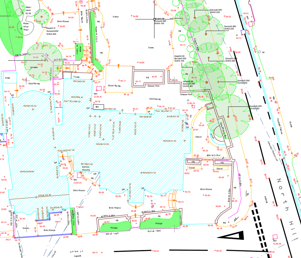
Our topographical surveys are able to accurately position features such as boundaries and tree positions in addition to the natural gradient of the terrain to ensure your project can progress to the next stage, whether that be a small extension or construction of a multi-million pound development.
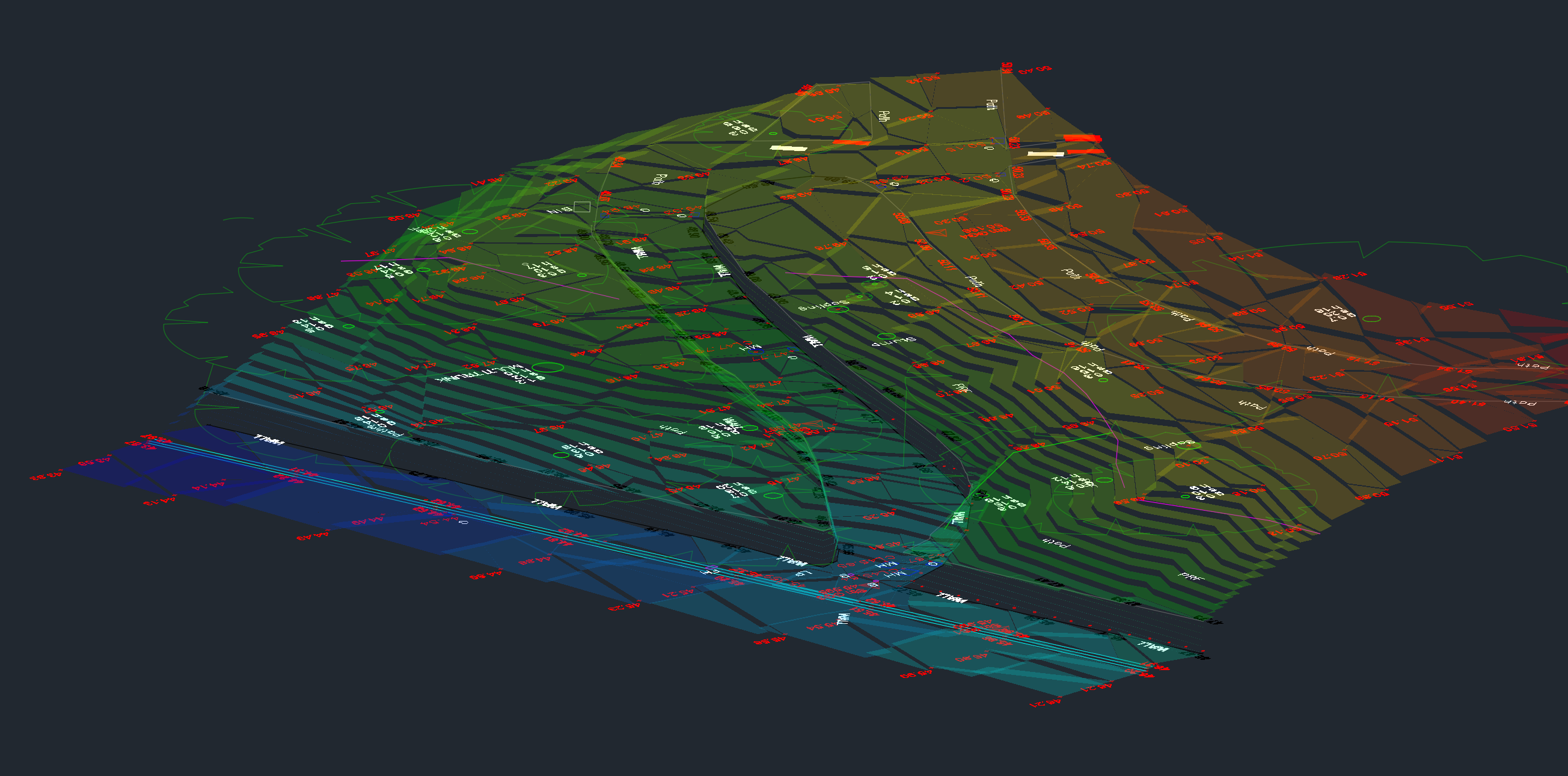
We survey a wide range of terrain, analyse the results and present them to you in the format you require either in digital or hardcopy format. With outputs ranging from standard 2D & 3D CAD drawings, incorporating aerial data to shaded digital terrain models we are able to tailor our surveys to your project need.