World leading UAS integrated and mobile laser scanning systems to give you control
Texo Drone Survey & Inspection Ltd are the ONLY operator globally, to facilitate UAS integrated SURVEY GRADE LiDAR (Light Detection and Ranging).
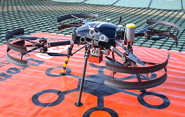
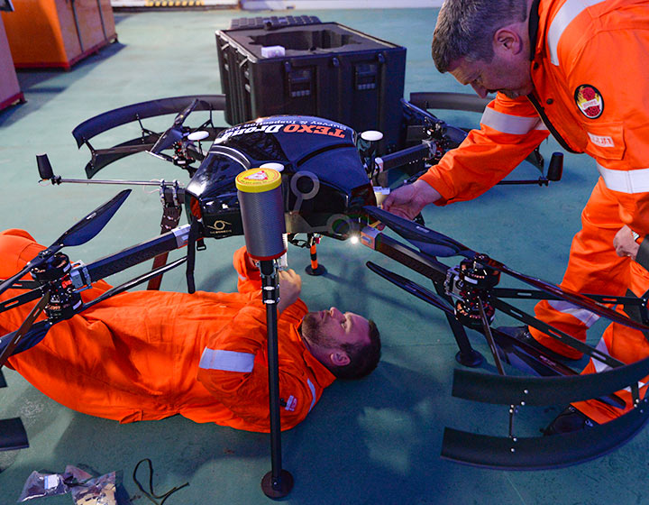
After extensive research and cross discipline skill accumulation, Texo DSI Ltd has managed to develop multiple, UAS integrated scanning systems, delivering consistent sub 3mm accuracies.
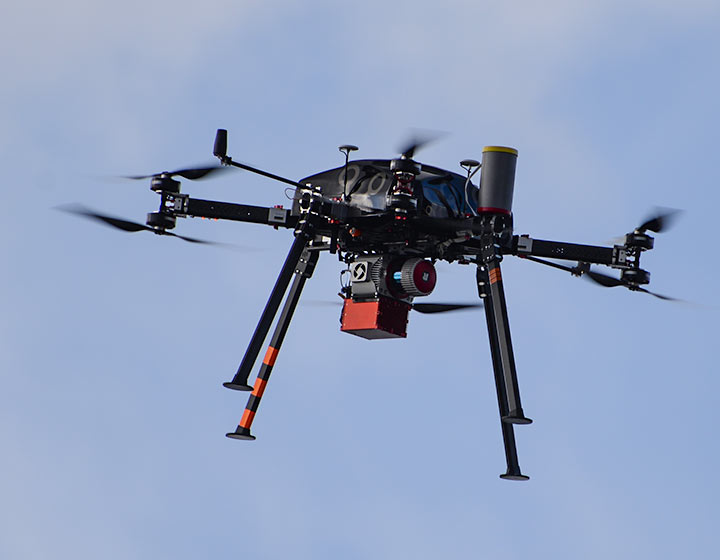
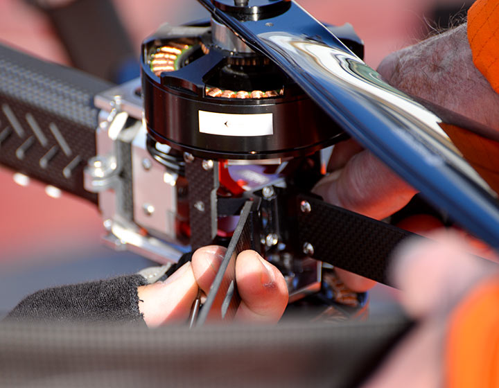
Integration into our custom-built UAS delivery platform incorporated with multiple redundancies, offers unrivalled safety and performance.
Using bespoke REIGL high accuracy (HA) scanning systems with optimised IMU, 1 million measured points per second (MPS) deliver consistent and high accuracies of sub 3mm at 30 – 80m from the target.
Flying at a higher altitude will result in a minimal decrease in accuracy but will facilitate increased area coverage.
In-house, post survey data optimisation is conducted where applicable and thus enhance precision and asset visualisation. Our Virtual Reality (VR) and asset integrity software platform, TEXZONE, provides our clients with a powerful post data acquisition, user interface for asset management and analysis.
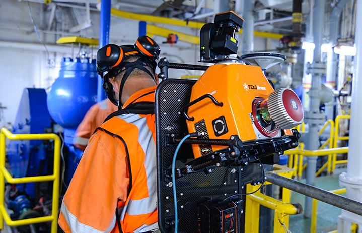
Finally, our scanning technologies have also been designed to facilitate increased operational deployment via vehicle and man portable configurations at exacting accuracies, encompassing any area of operation and ensuring total asset and area coverage.
All onshore LiDAR surveys are fully supported by our fleet of aerial operations support command vehicles.
All aerial operation support vehicles are fully equipped and integrated with extensive charging facilities to ensure maximised flight duration for our UAS systems and comprehensive IT and visual infrastructure for pre mission planning, ‘in-flight’ and client led mission control and post inspection survey analysis and sign off.