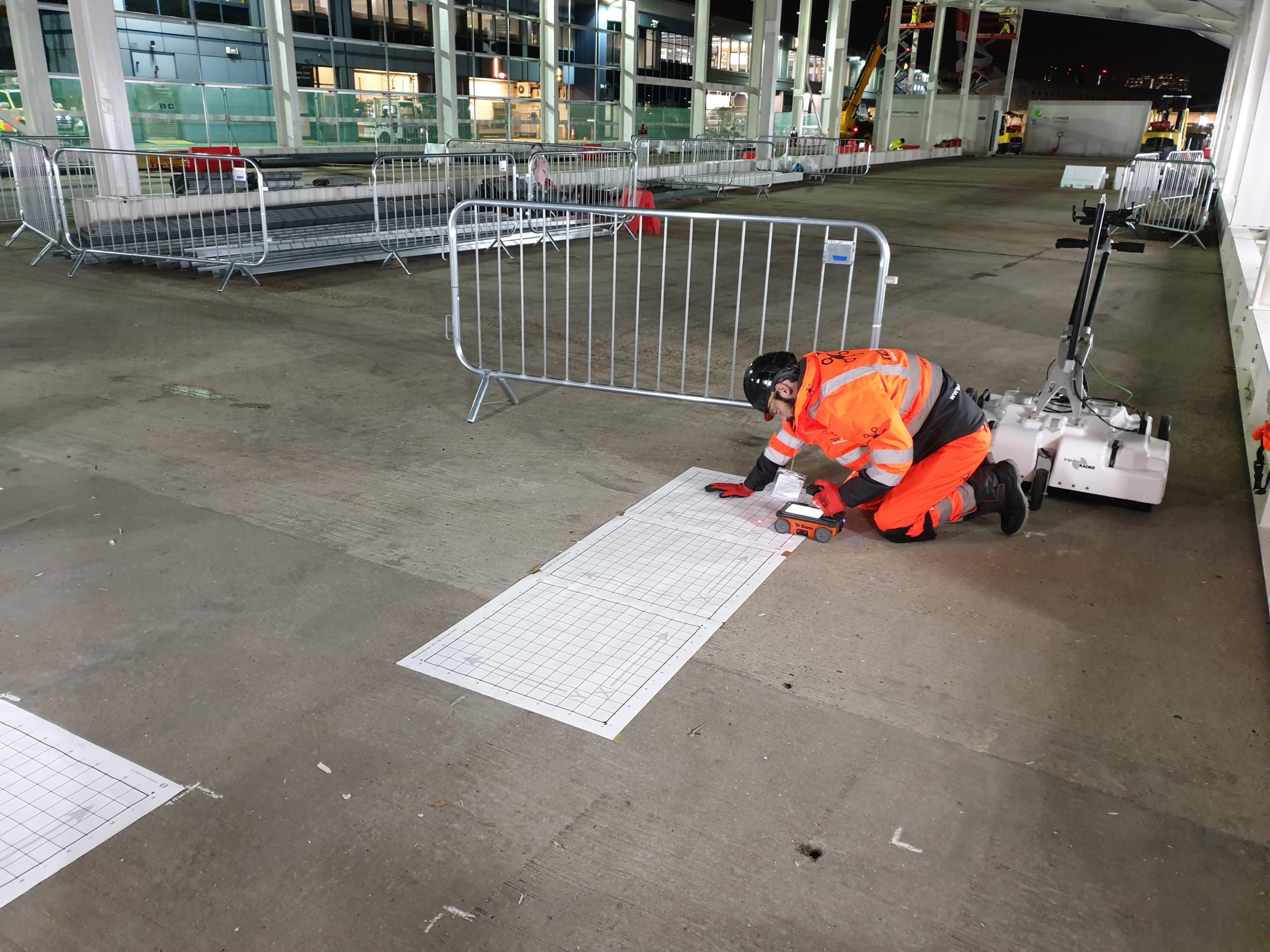
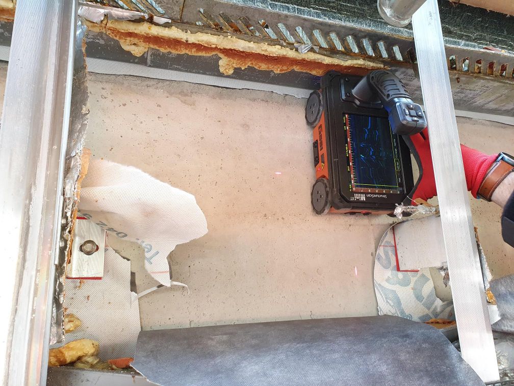
By deploying the latest in ground penetrating radar and electromagnetic survey instruments our experienced team can detect and record the 3D position of conductive and non-conductive services.
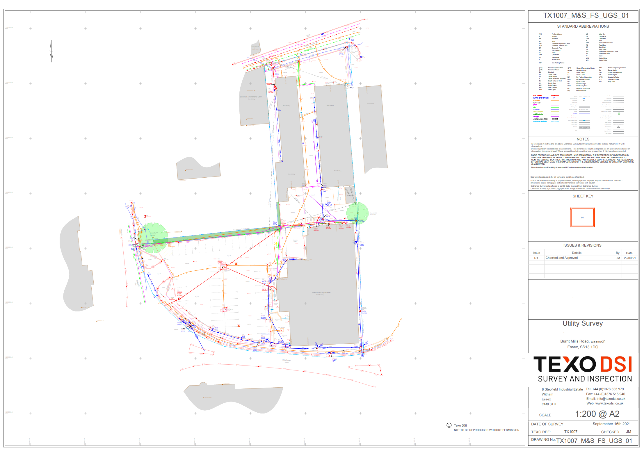
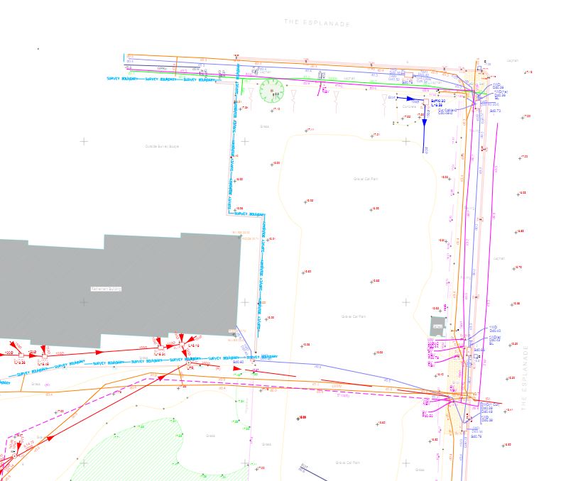
Understanding the route, type and position of utility services is essential to good project planning. Large-scale infrastructure projects often require the re-routing or expansion of utilities and so it’s crucial to gather as much data beforehand to aid decision making.
We work closely with clients to ensure you can plan & design around utility services with confidence.