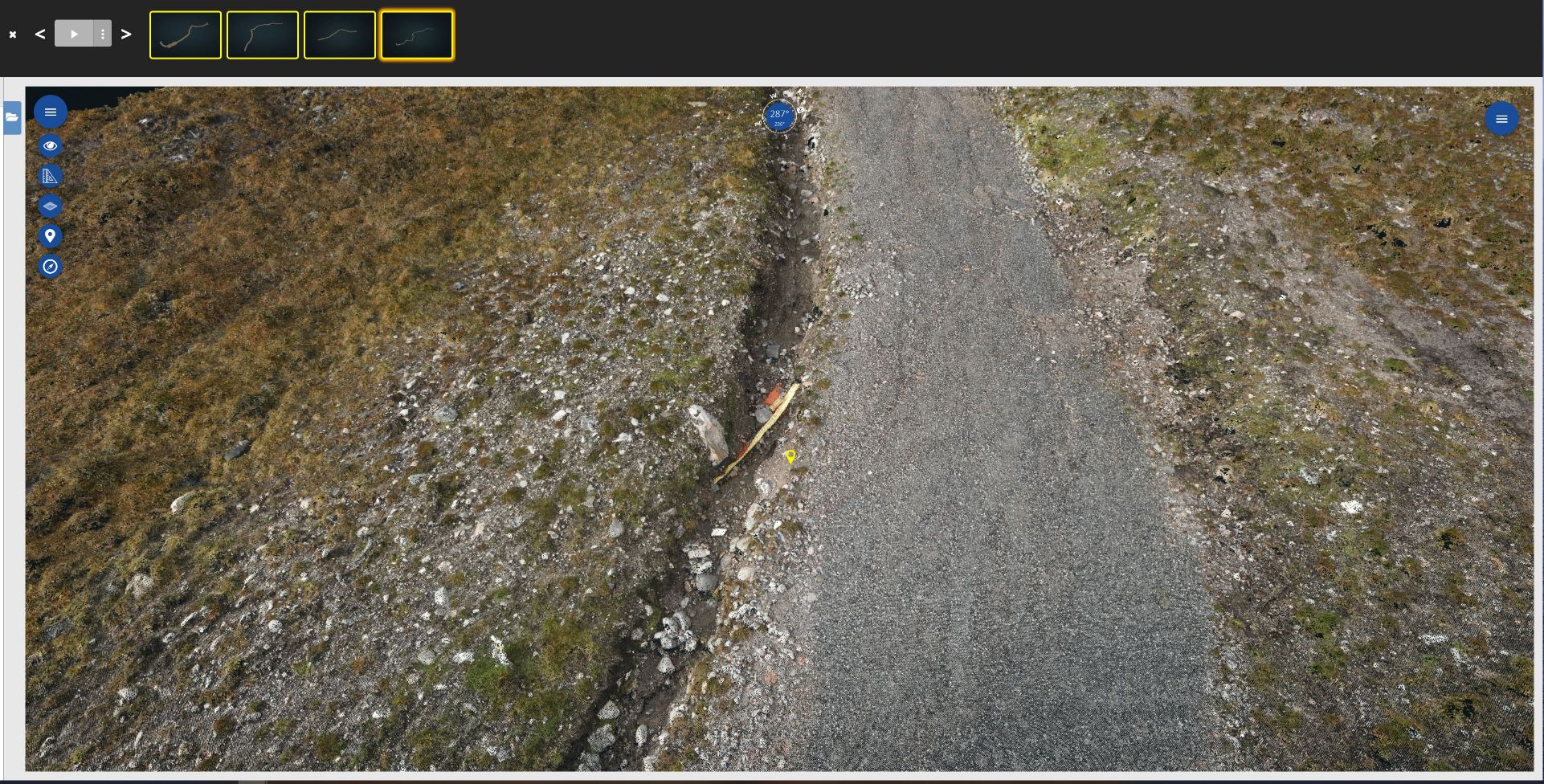
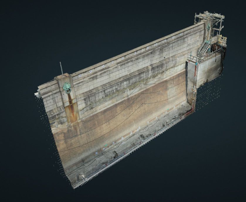
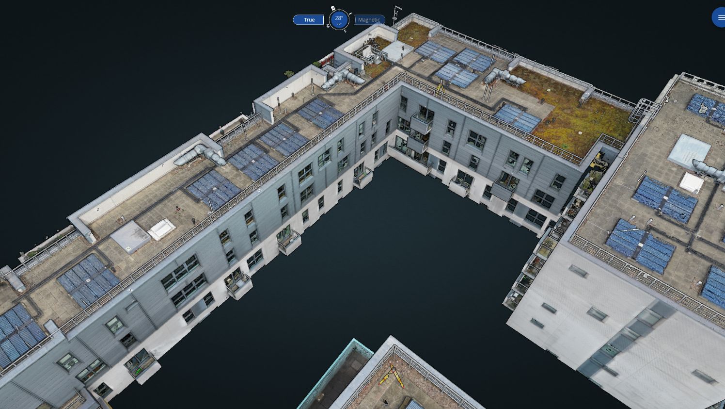
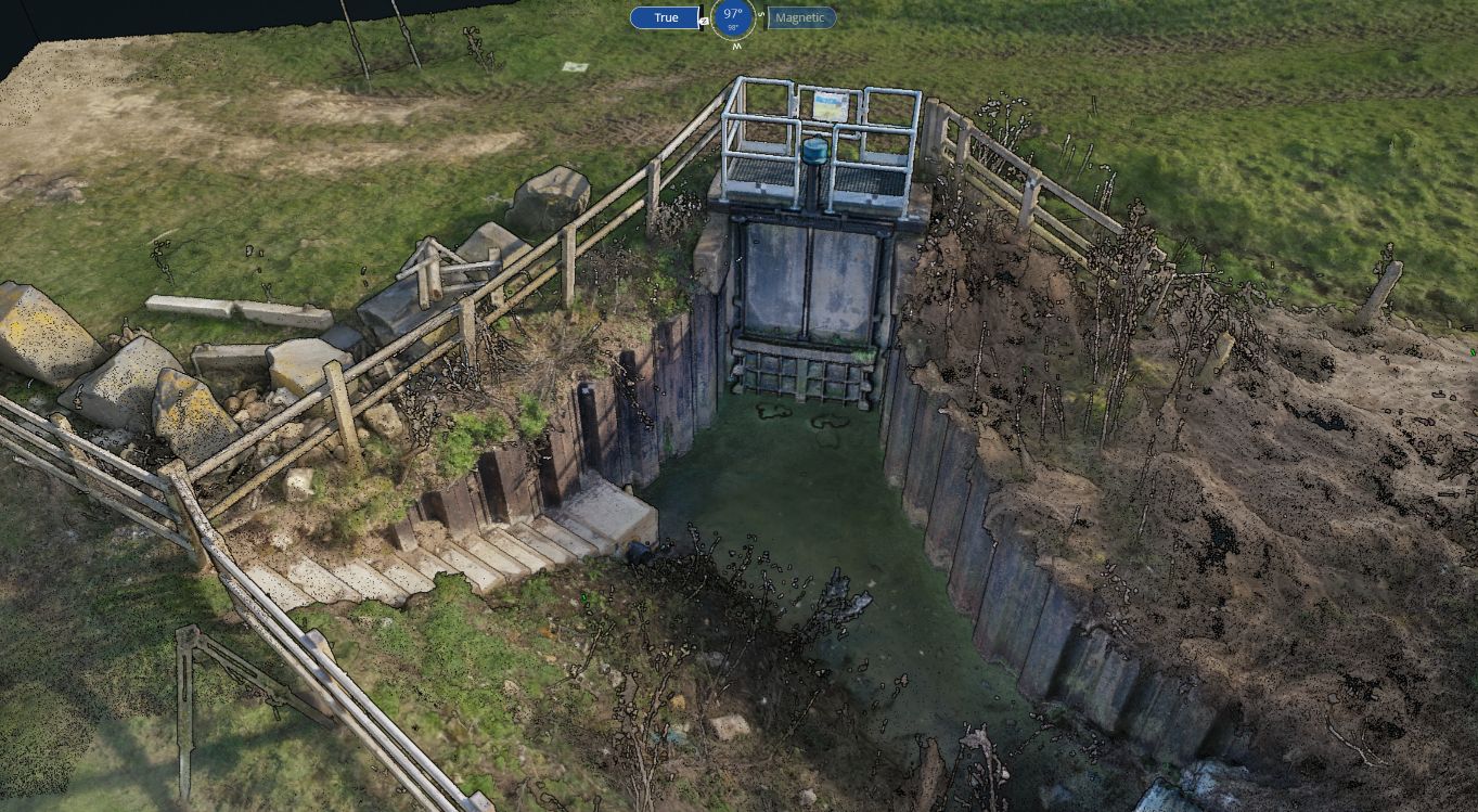
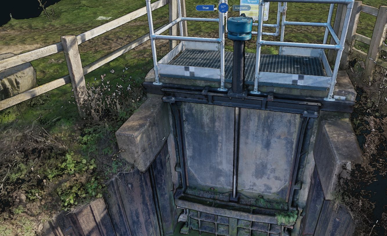
We specialise in aerial photogrammetry, which uses the latest in UAS technology and sophisticated cameras to capture overlapping pictures of the target area.
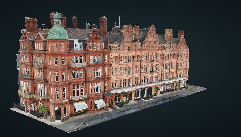
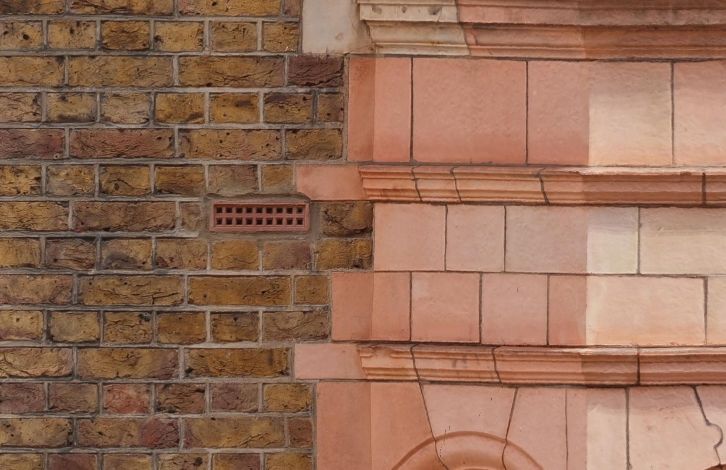
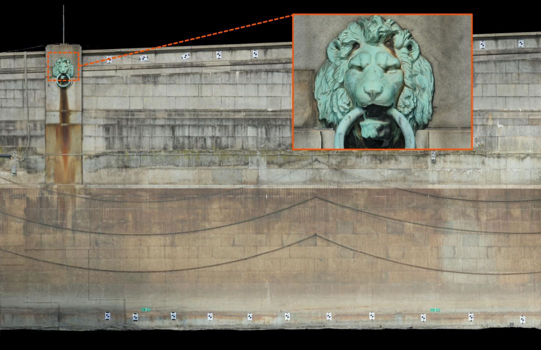
Once the area is covered, the photographs are processed using a state-of-the-art system that can produce highly accurate maps, point clouds, 3D Models & digital surface models of the area.
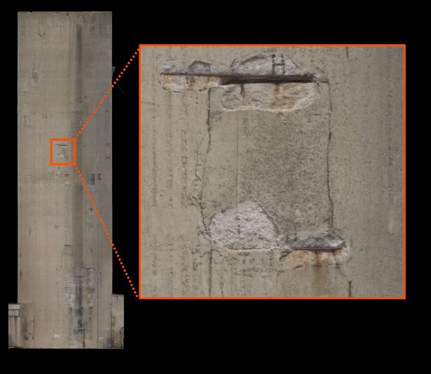
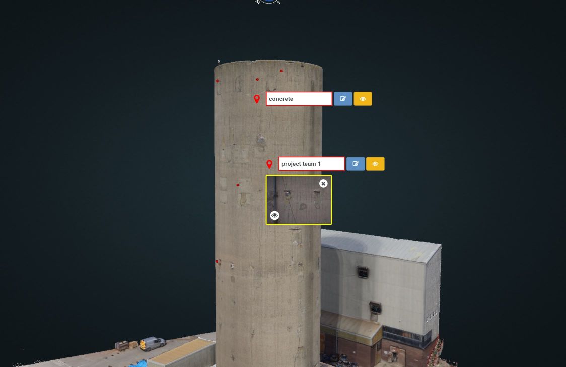
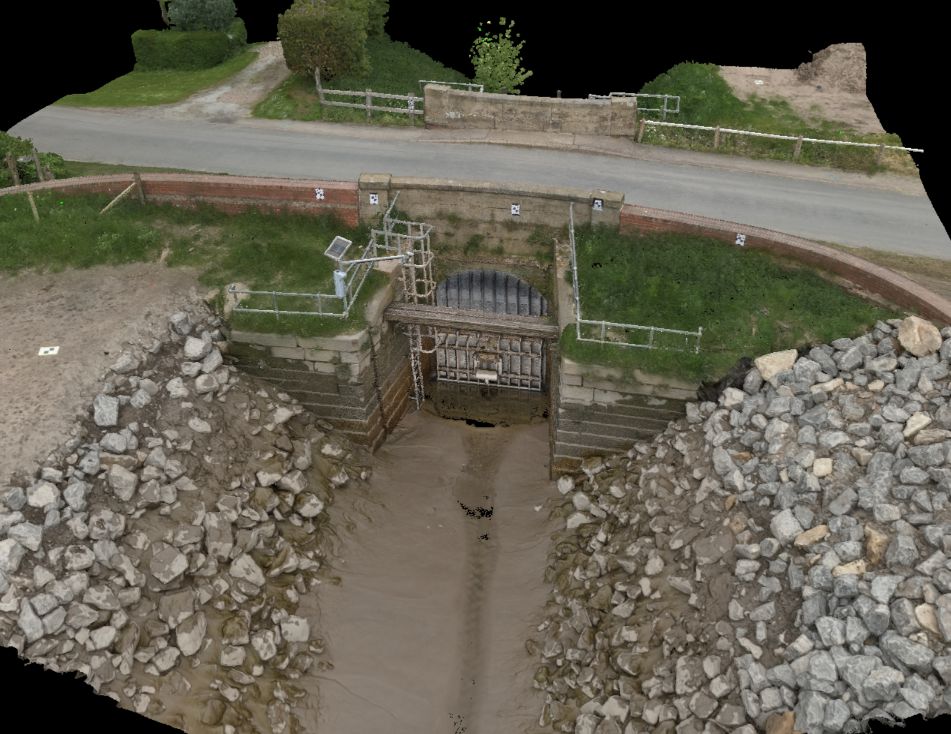
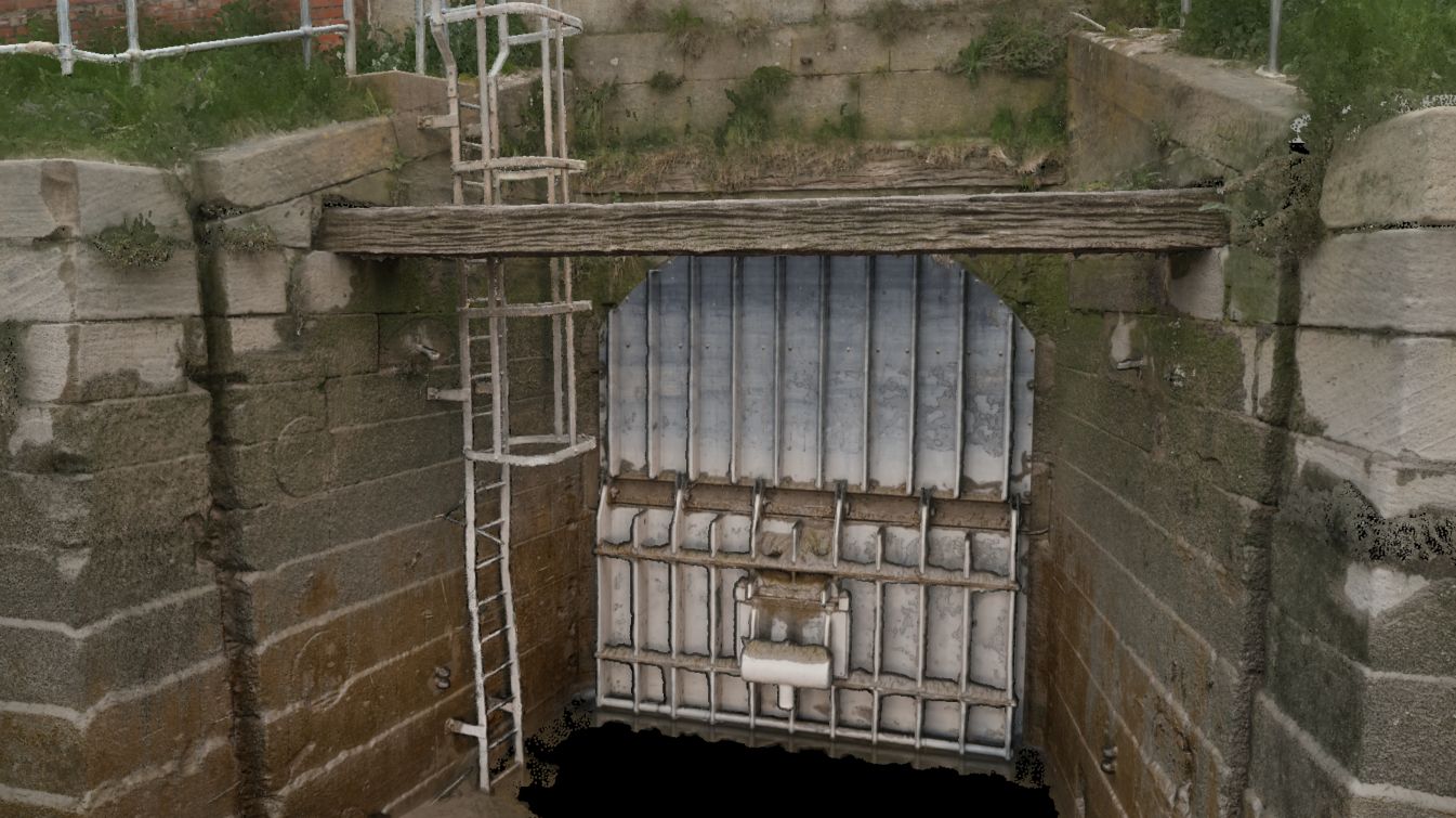
Using highly accurate survey control and project tailored flight plans we can help digitise and record important historical buildings or features, visually inspect large inaccessible structures, even measure defects on a building façade or map long sections of road networks. Geo-referenced to your project coordinate system, safe and efficient.