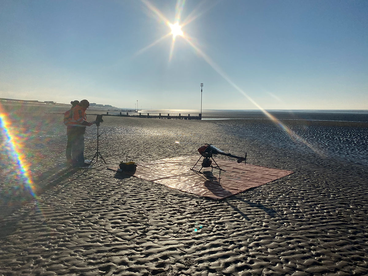
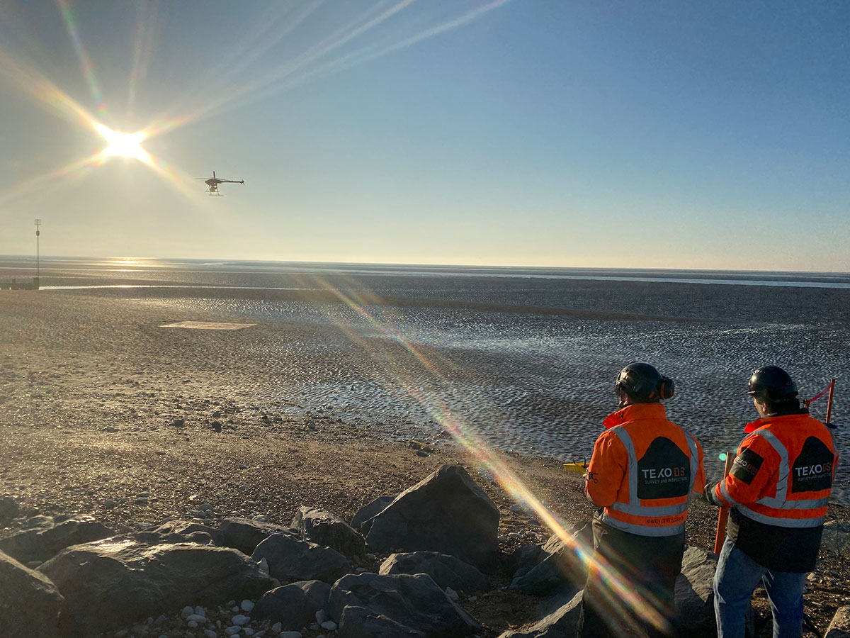
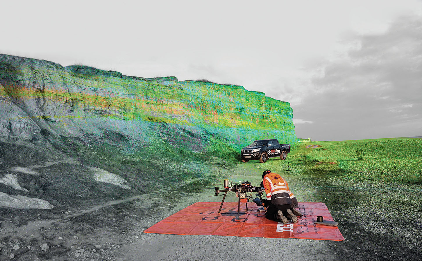
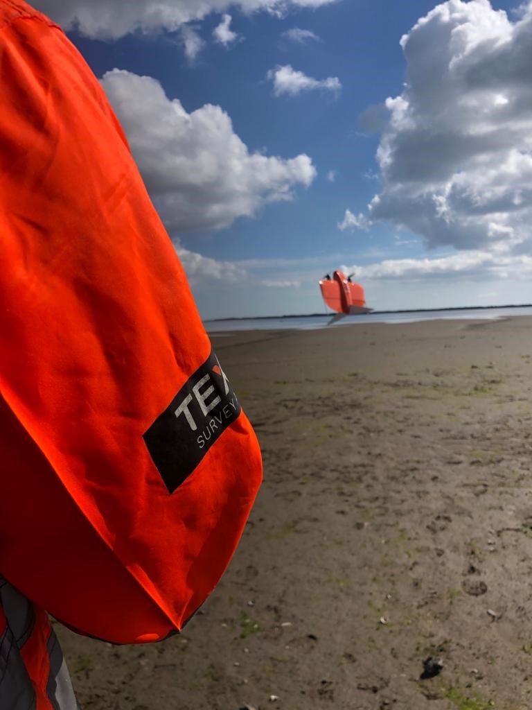
Coastal areas are dynamic and ever-changing, requiring accurate and up-to-date information for effective decision-making. Our state-of-the-art drones equipped with advanced sensors and imaging technologies allow us to capture high-resolution aerial data of coastal regions with unprecedented detail and precision.
By using drones, we eliminate the limitations and risks associated with traditional surveying methods. Our UASs can effortlessly navigate challenging terrains, reach remote or inaccessible areas, and cover large stretches of coastline in a fraction of the time. This not only saves valuable resources but also minimizes disturbance to delicate ecosystems.
Discover the future of coastal surveying with our drone-based solutions. Contact us today to learn how our services can benefit your coastal projects.