Our client needed a survey of five cliff sites to get an accurate picture of the current state of the cliffs surrounding existing public areas.
Our brief was to provide a LiDAR survey point cloud that could enable the client to re-create the cliff areas, allowing them to see exactly what state the sites were in, allowing them to make important ecological and public safety decisions as part of their cliff monitoring programme.
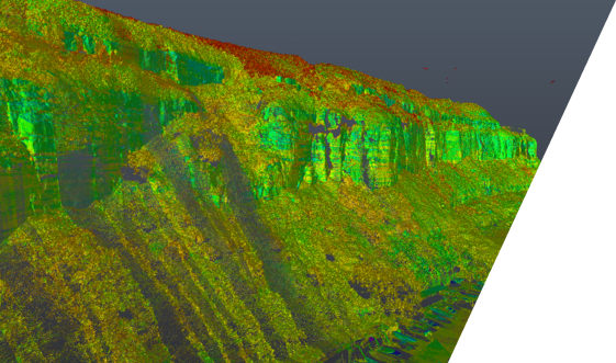
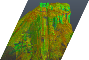
We carried out all the work using our bespoke UAS survey and LiDAR (VUX1) system to accurately scan the cliffs and produce a 3D point cloud of the bare earth ground model. This data was sent for analysis by the client’s appointed geotechnics consultant.
The bespoke T28 and Reigl VUX 1 combination, uniquely developed by us, was initialised in the first location to be flown. The flight path of the UAS was designed by the LiDAR specialist and dedicated pilot to ensure all the data is collected in the scheduled flight time.
The LiDAR system, which measures a million points per second, collects approximately 1 GB of data for every minute it is flown in the air. This data was checked for consistency and coverage on completion of the mission.

The data and GPS information ware post-processed to remove the induce GPS errors from the satellite information to give an accuracy to sub 5mm in cloud. Processing included the classification of the data to show different levels of vegetation.
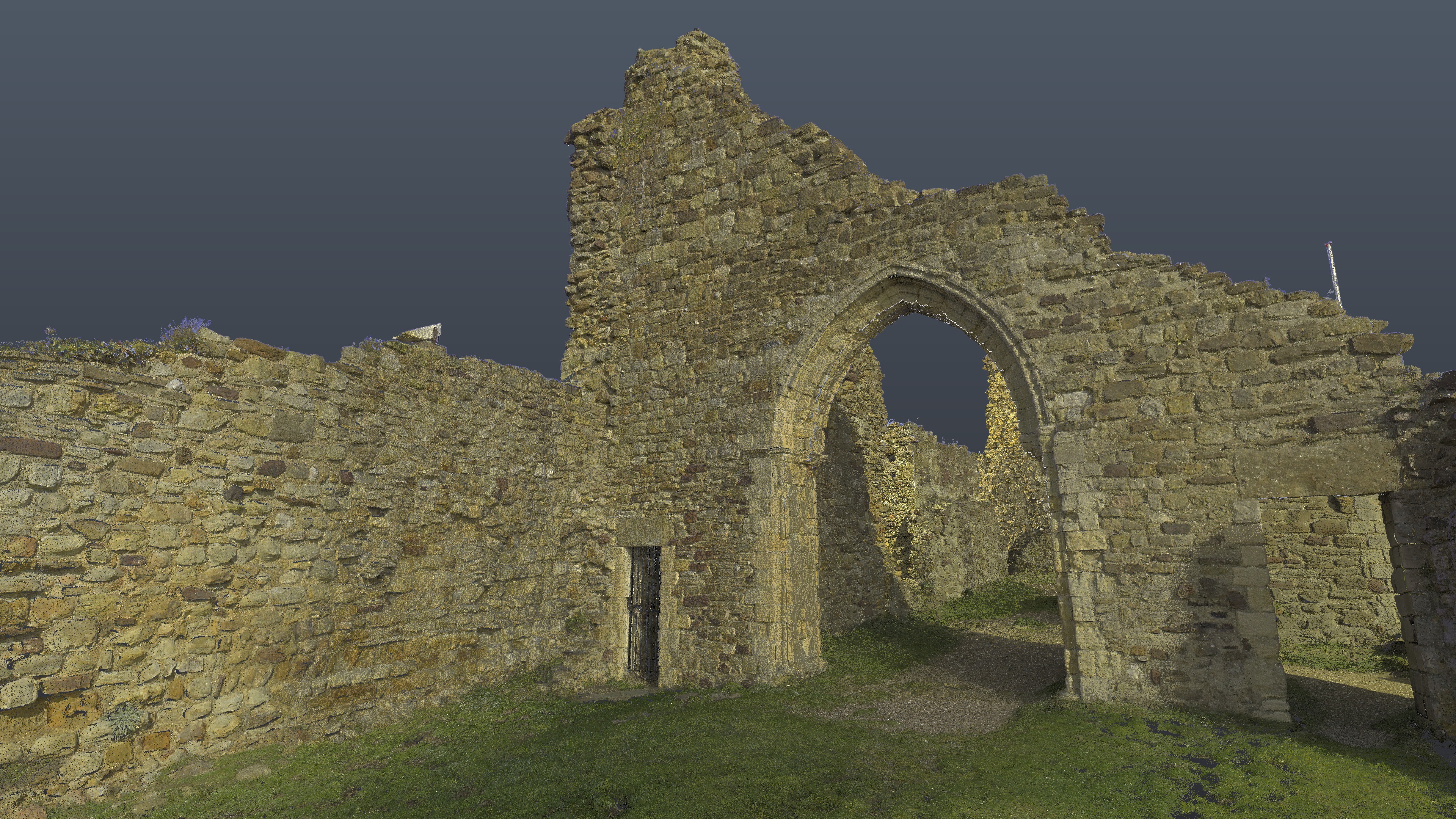
As requested by the client, this information was removed to provide a bare earth model for the geologists to work with. The data was then delivered to the client for its own in-house analysis.