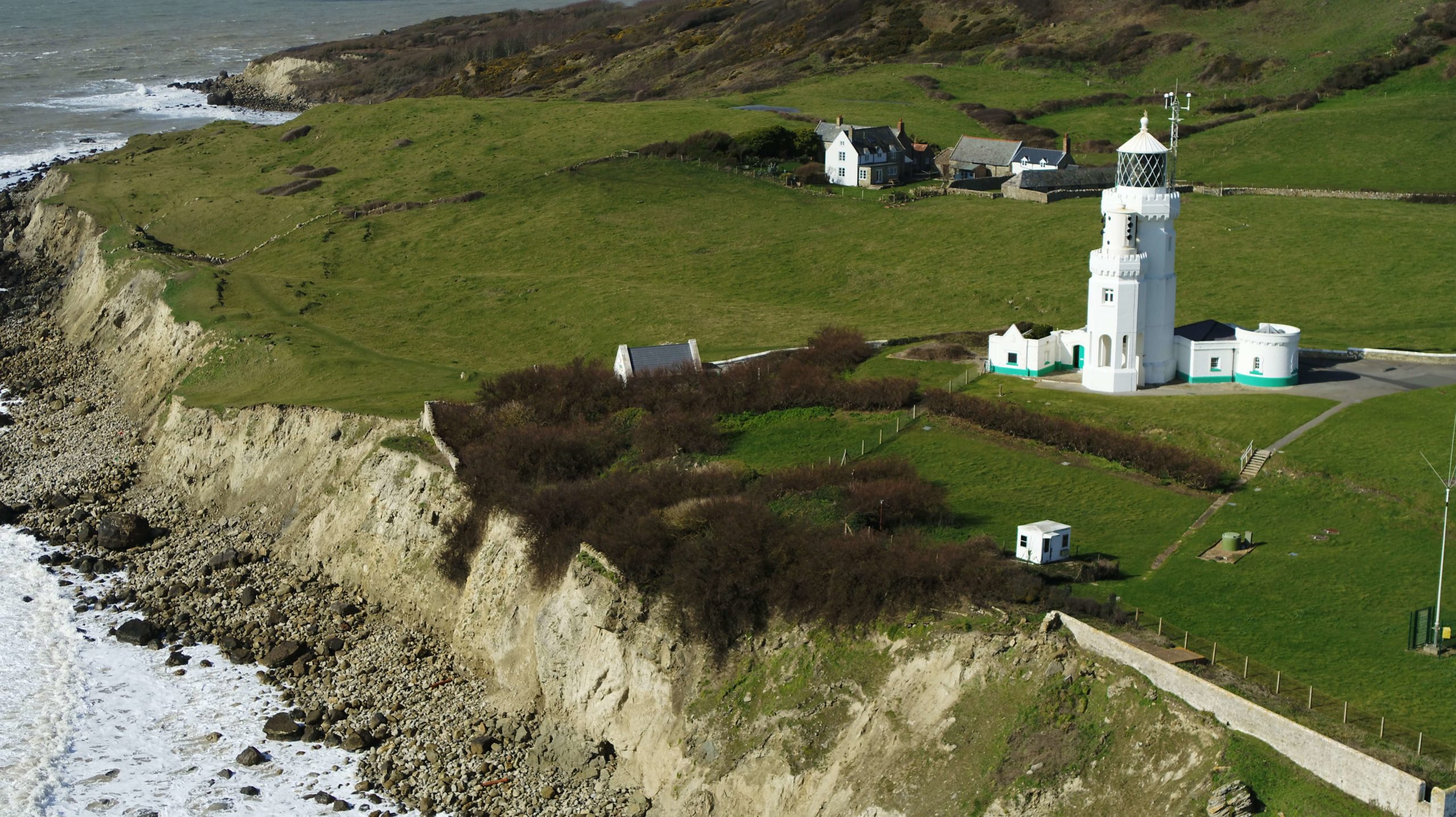
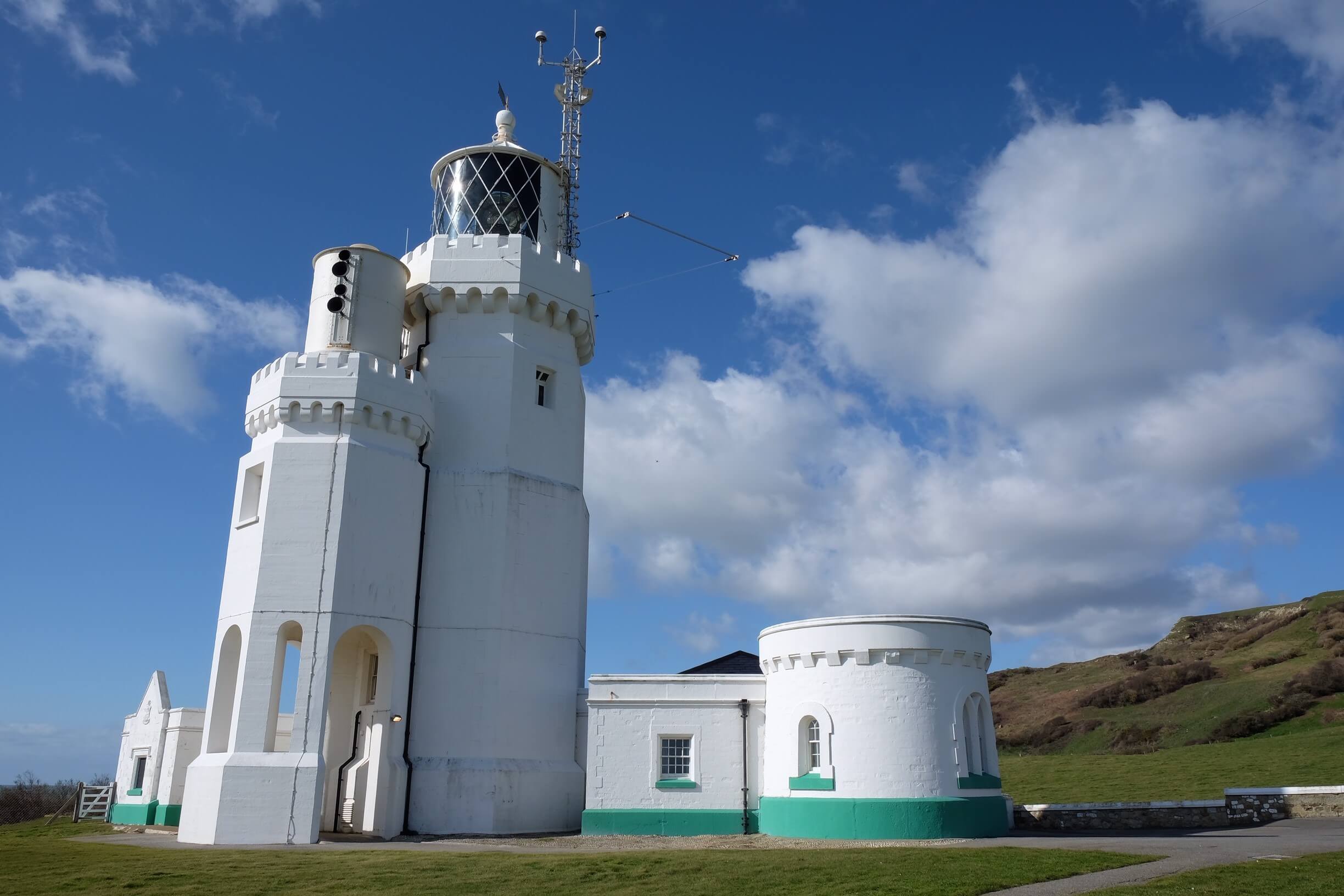
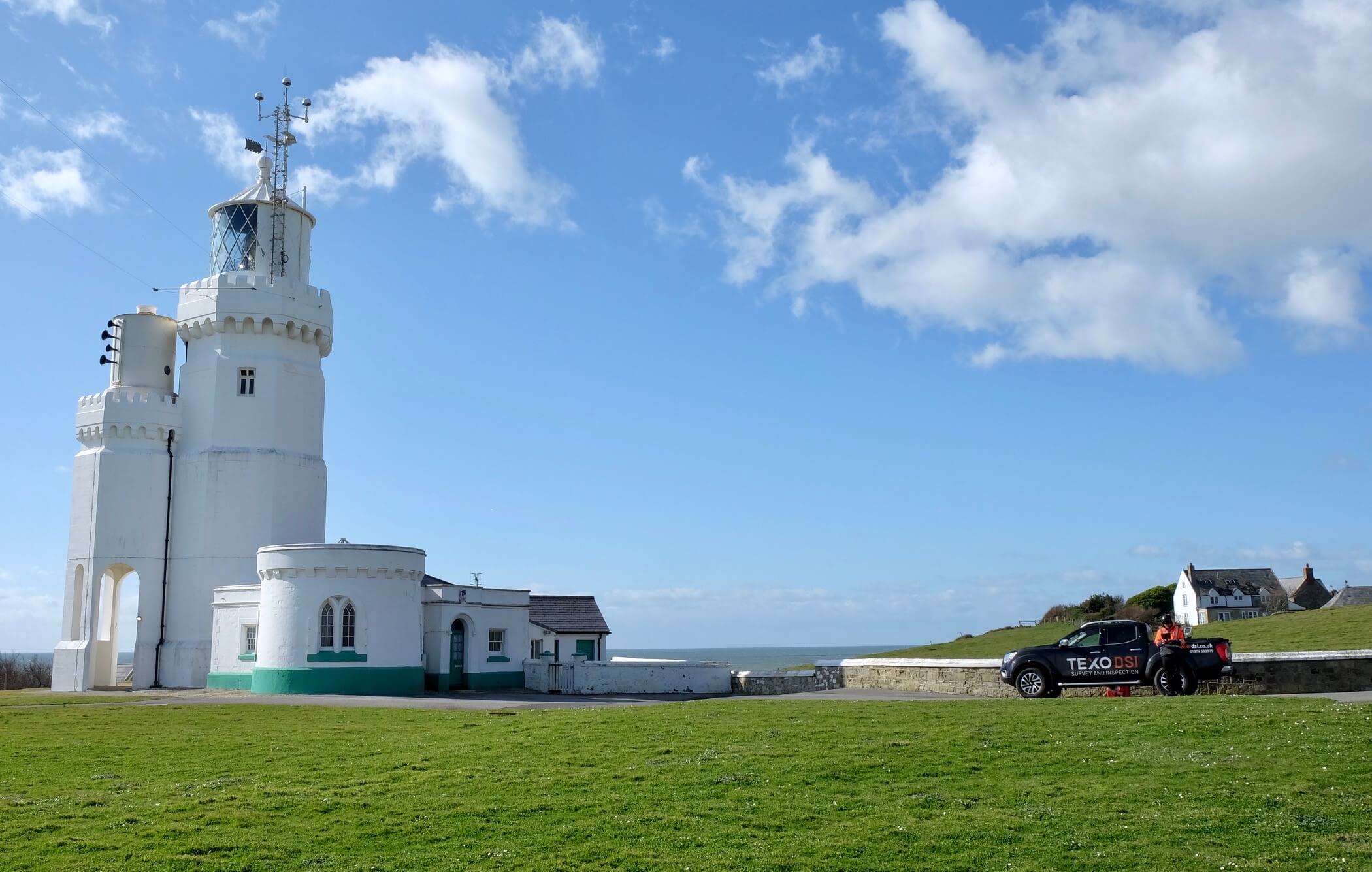
Located at the southern tip of the Isle of Wight, stands St Catherine’s Lighthouse. This beautiful Victorian structure built in 1838, the first lighthouse in the world to be powered by electricity, requires carefully planned upgrades and design.
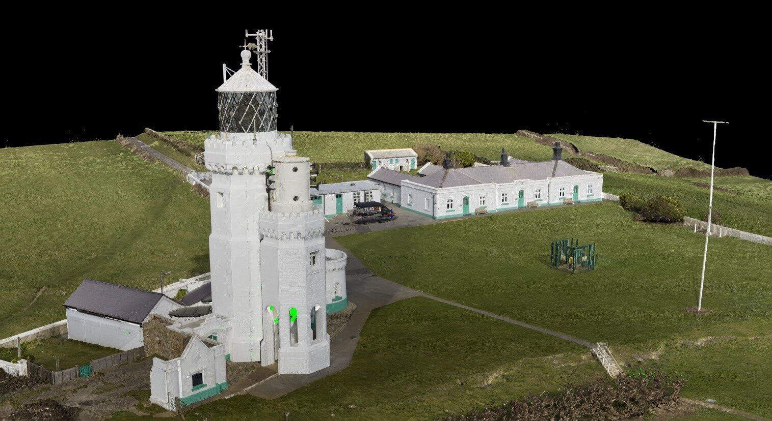
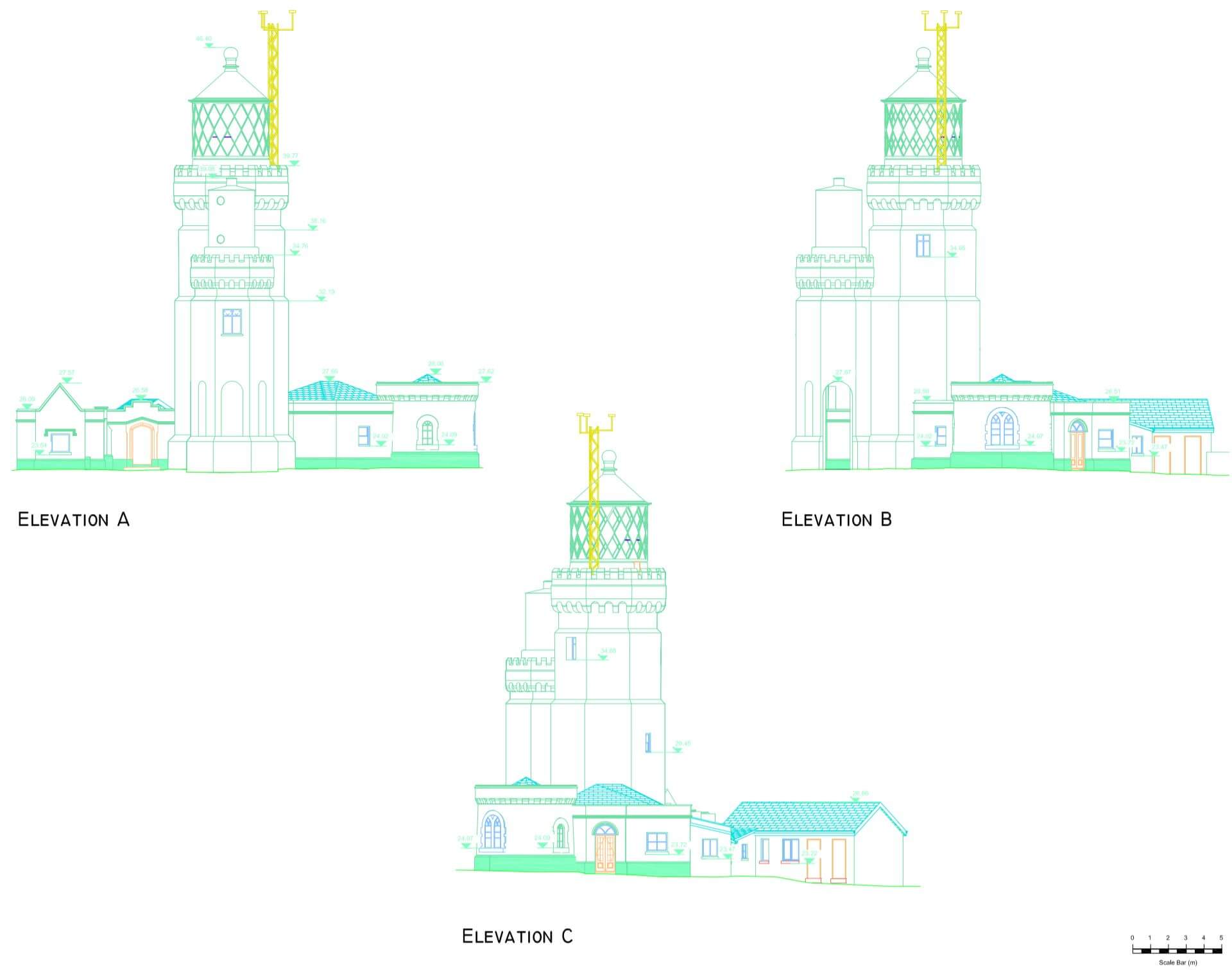
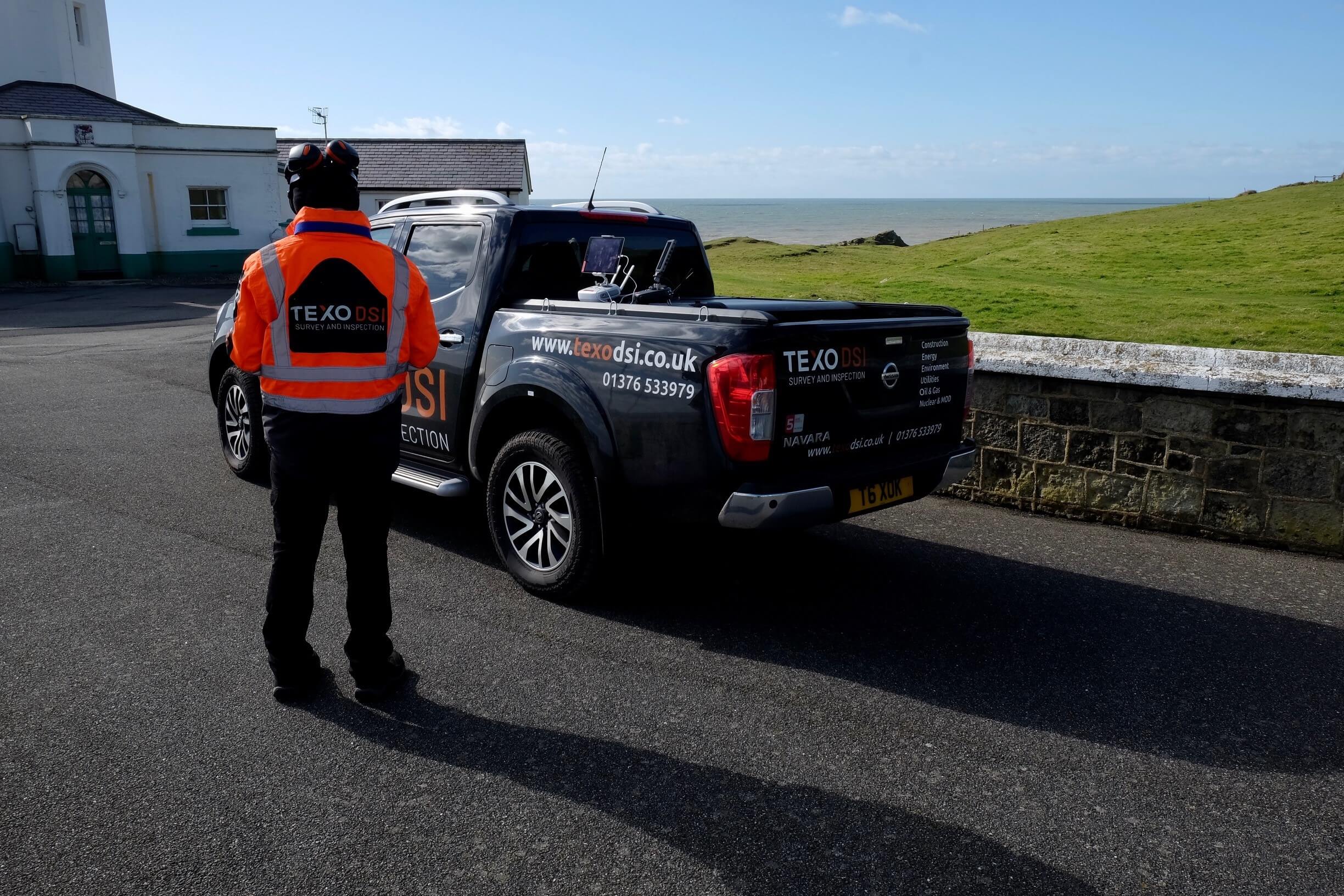
Texo DSI was contracted to create a fully geo-referenced 3D point cloud of the site to include lighthouse and out-buildings, both internally and externally. From this data Texo DSI also produced precise floor plans and elevation drawings.
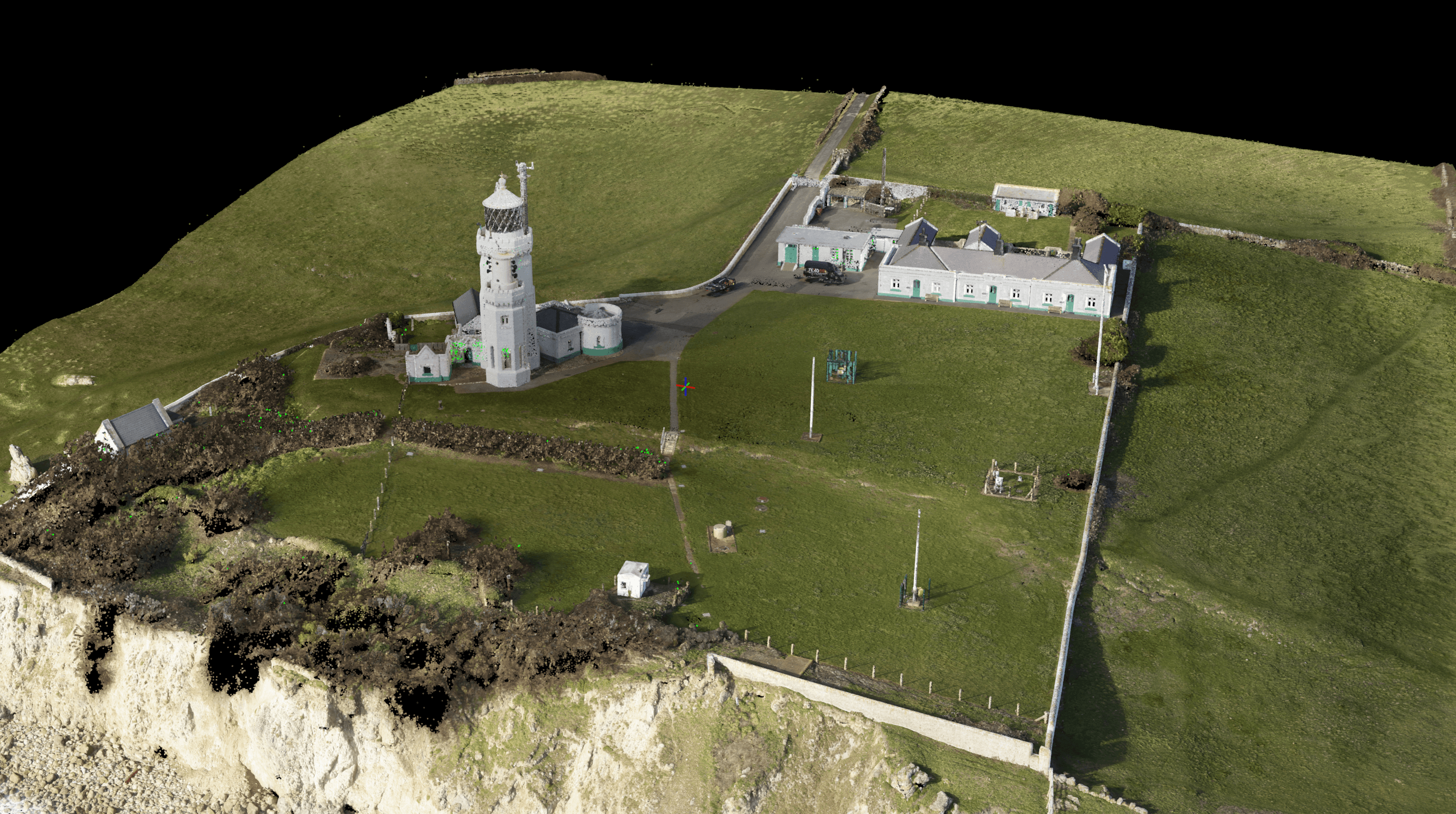
Using our expertise in advanced survey methods we combined multiple survey datasets to deliver a millimetre-perfect model.
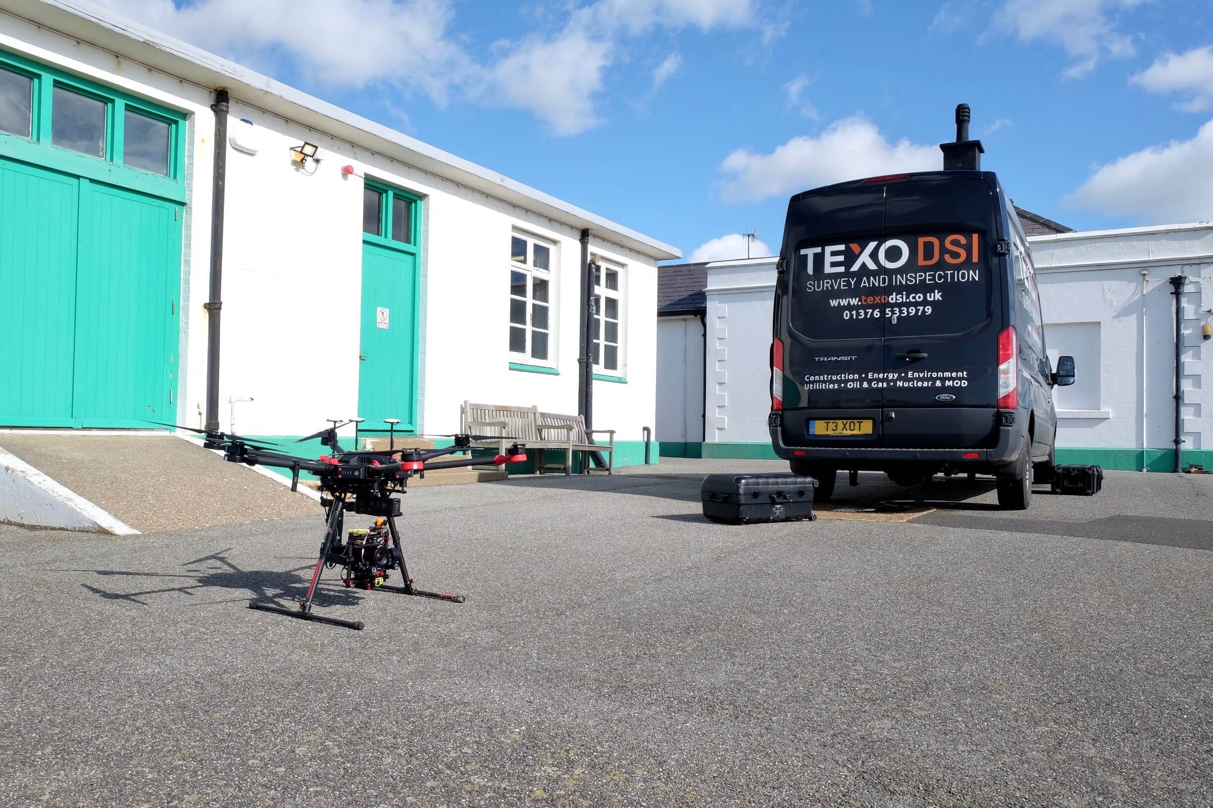
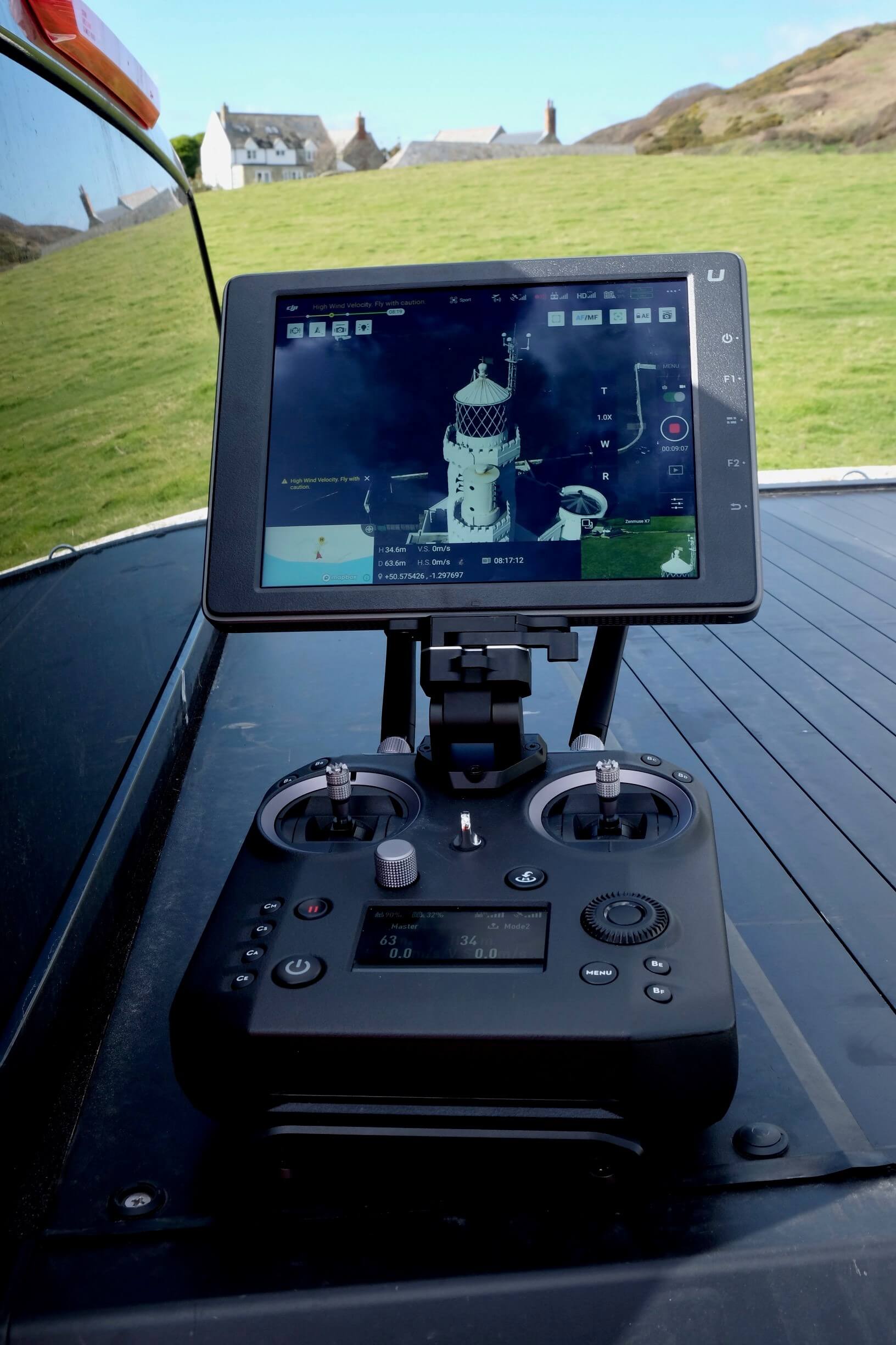
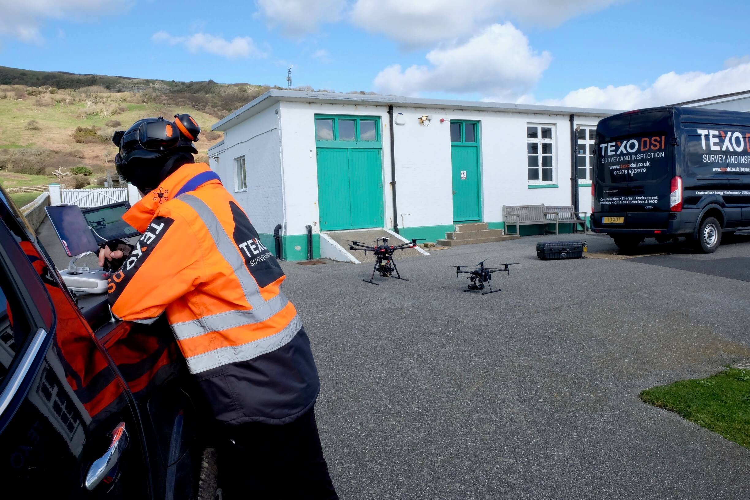
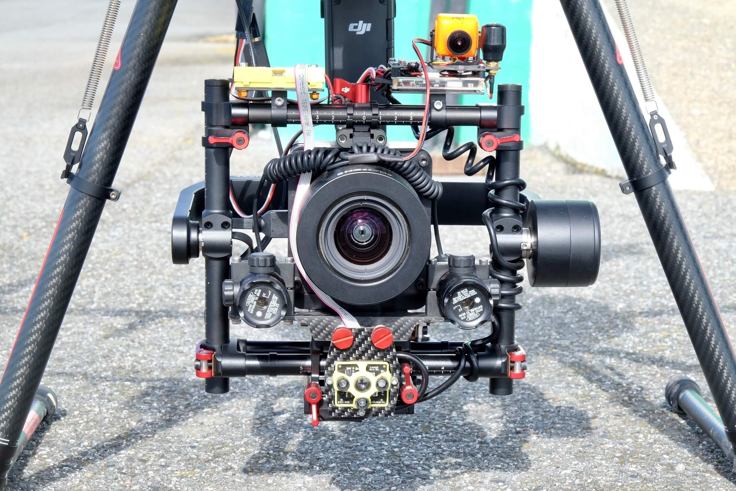
Through traditional survey we established ground control across the site to orientate the survey to OSGB36 and Using our advanced fleet of UAS survey equipment, we employed multiple survey sensors on a fixed wing and multi-rotor platform to capture all the external site detail.
By collecting inspection quality imagery in collaboration with ground-based traditional survey methods we ensured our 3D model is of the highest quality and accuracy.
The dense vegetation on the cliff face proved an issue however the use of our world leading LiDAR survey system was chosen because it has the ability to penetrate vegetation resulting in the ability to model the true cliff face.
Combination of the datasets has produced a stunning full colour 3D point cloud model as you can see. With the advanced ability to digitally interrogate this ancient structure, this has opened a whole new world of design capabilities to our client.
We delivered: