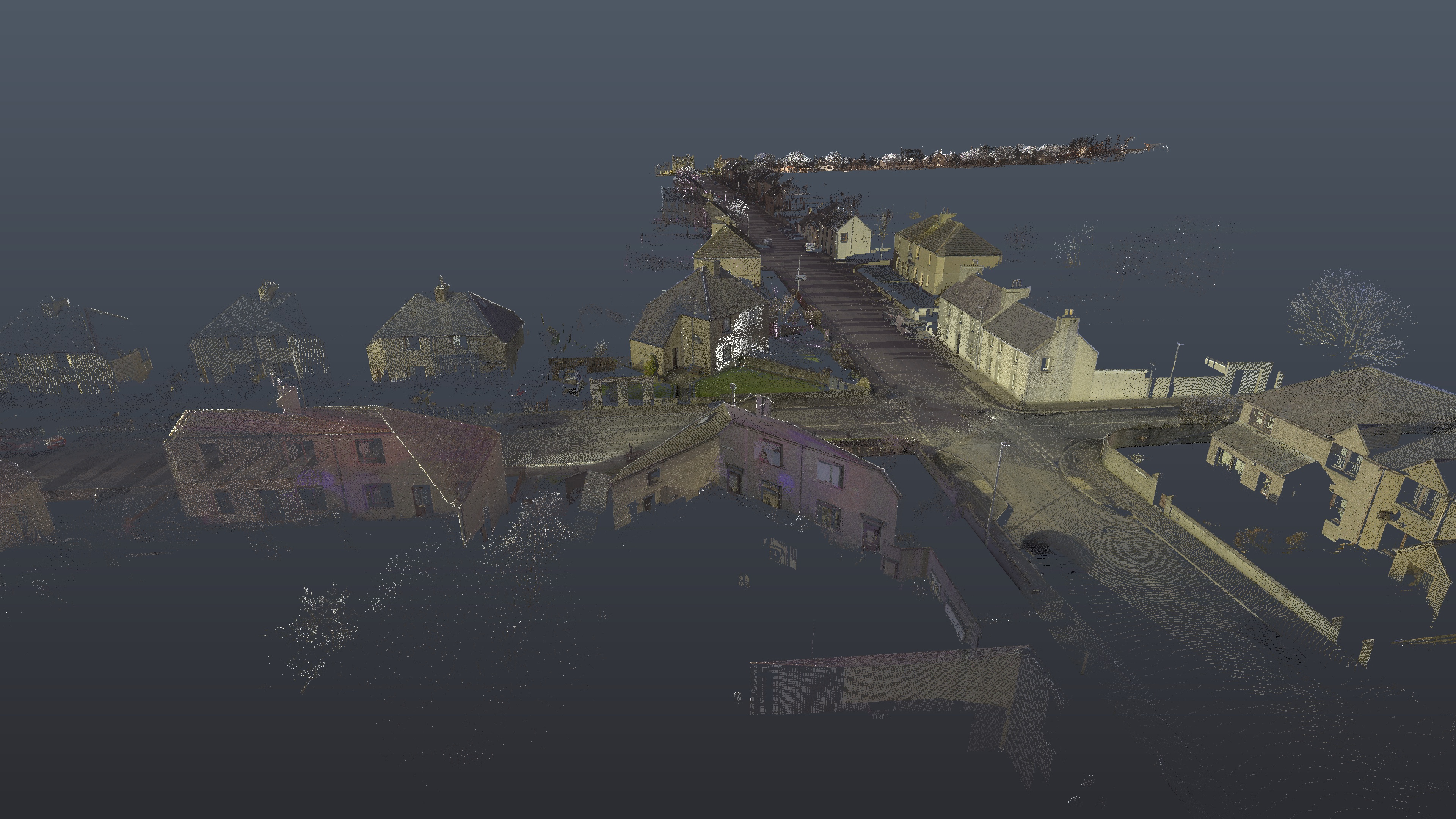
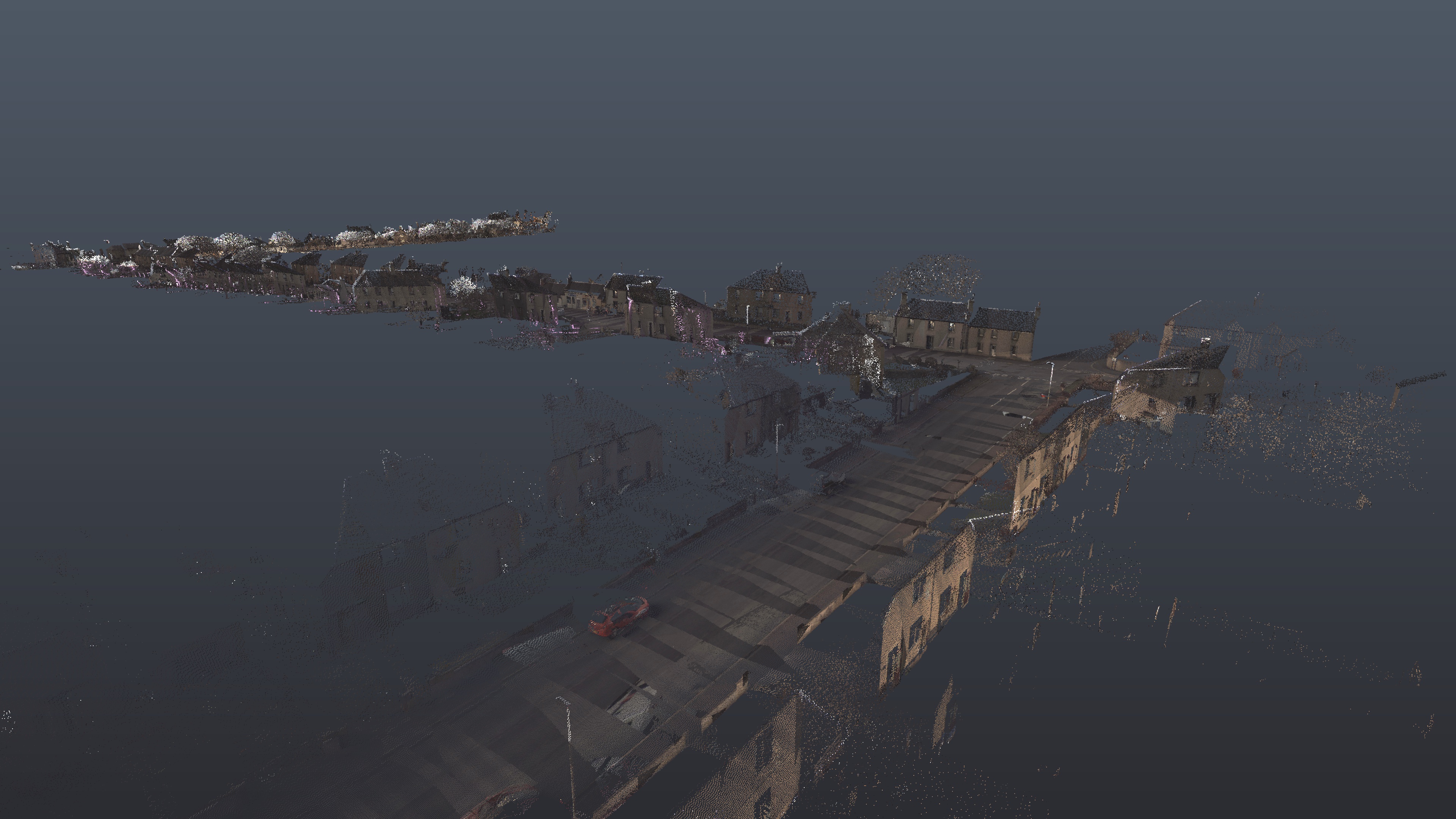
Our client needed to understand the route taken by the Buzzard Phase II towhead to the town ensuring its safe movement.
The towhead was 35m long, 6m high and 350 tonnes, and the only way to organise a trial run of the route was to capture the whole route and the towhead using LiDAR imaging, and then create digital twins to be used in a virtual reality suite to allow the client to assess potential obstacles along the route and on to the site.
The survey was carried out in two distinct parts:

We delivered a final clean point cloud in .pts format for modelling and converting into the VR suite. The final point cloud was further processed to produce an AutoCAD drawing with 3D contours and levels to OS datum along the route.