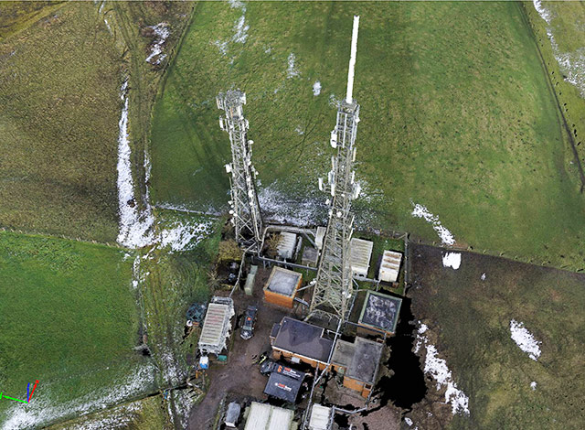
With a diverse RPAS fleet, incorporating both fixed wing Q200 surveyor pro with fully integrated PPK and various Multi rotor platforms, Texo DSI Ltd are able to fulfill a wide range of photogrammetric applications.
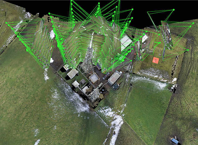
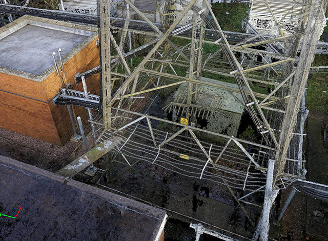
Utilising multiple images of an area or object, our diverse and advanced software applications and trained technicians can generate accurate 3D models for a multitude of projects. Measurements are acquired via multiple data points of a specific area or object from different views and matching them up.
This technique is widely used by Texo DSI Ltd for volumetric analysis and certain site/structure data generation where accuracy is surpassed only by OUR survey grade LiDAR Platform.
Orthomosaics are the stitching of multiple aerial shots to produce a signal image for use in multiple sectors. Helpful in infrastructure planning and largescale site planning.