Case Study

Updating floor plans, utilities and services

What was needed?

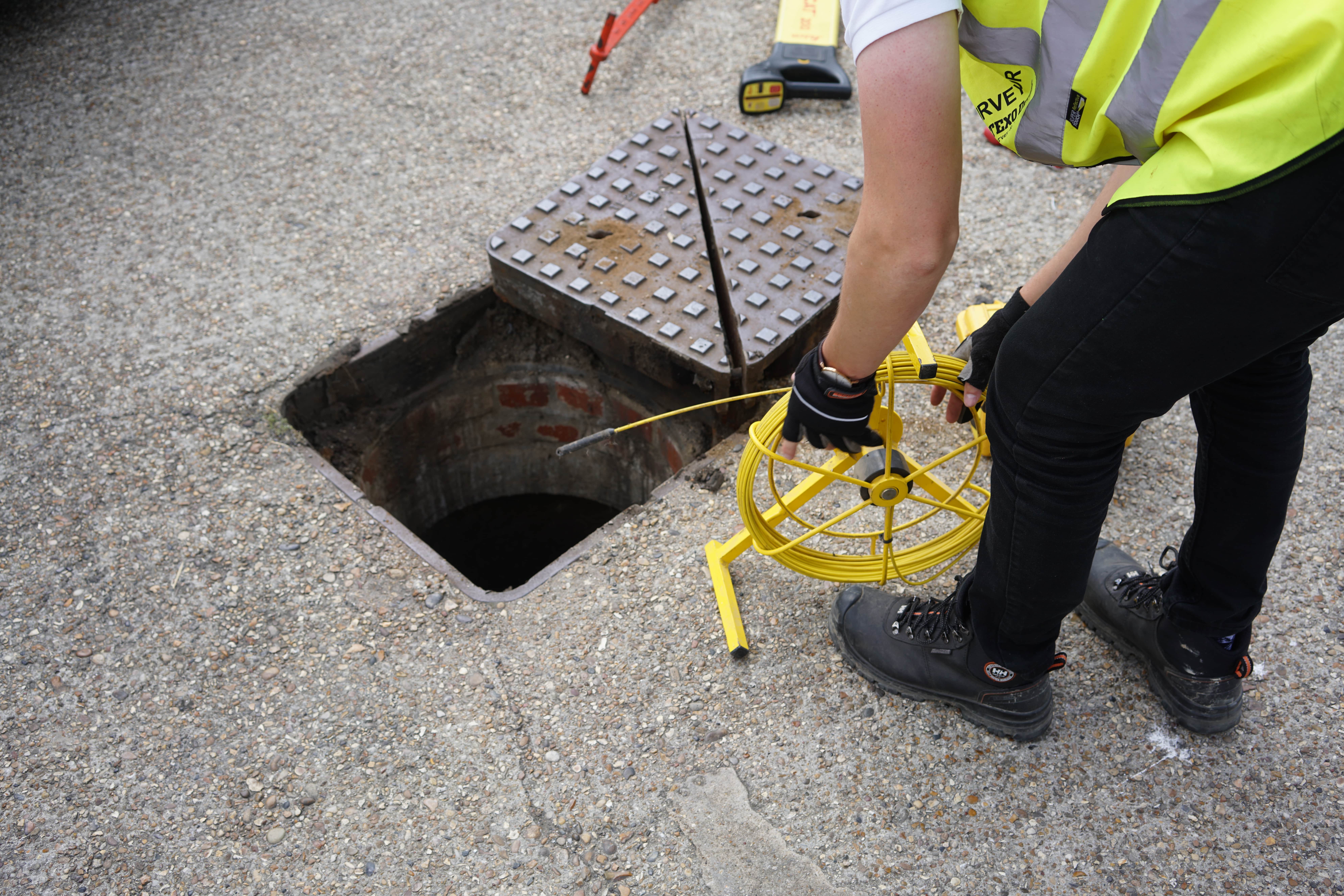
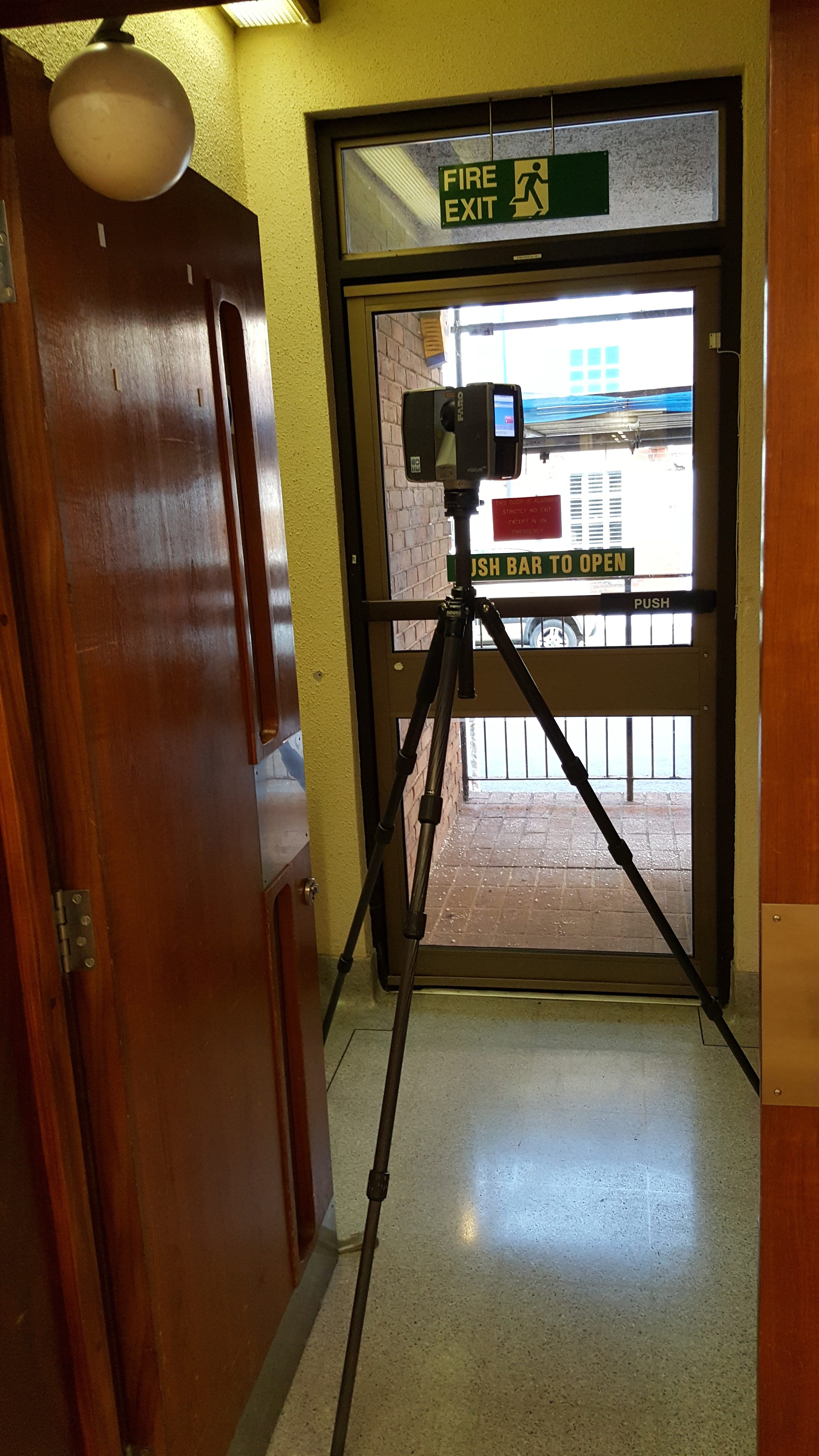
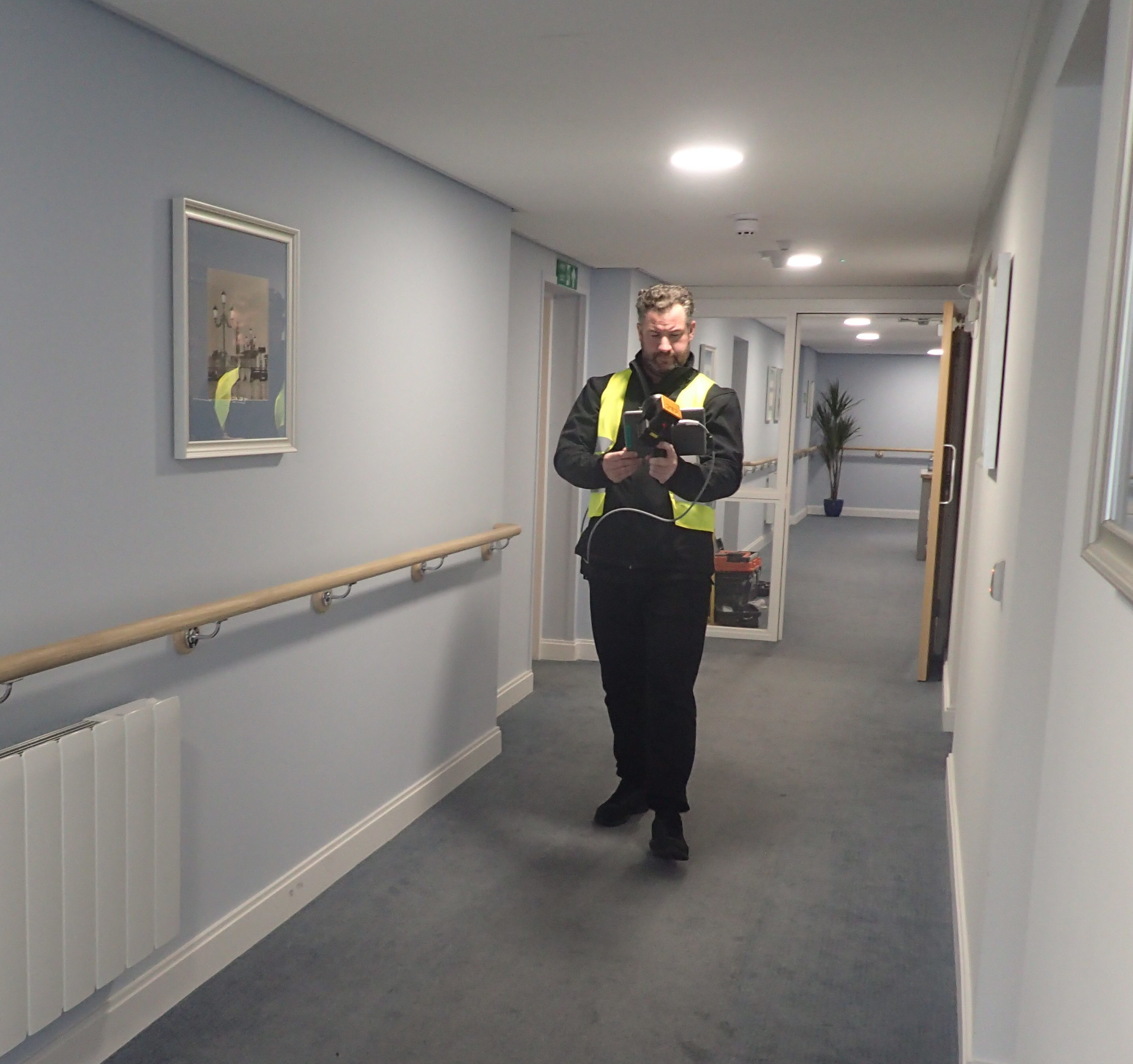
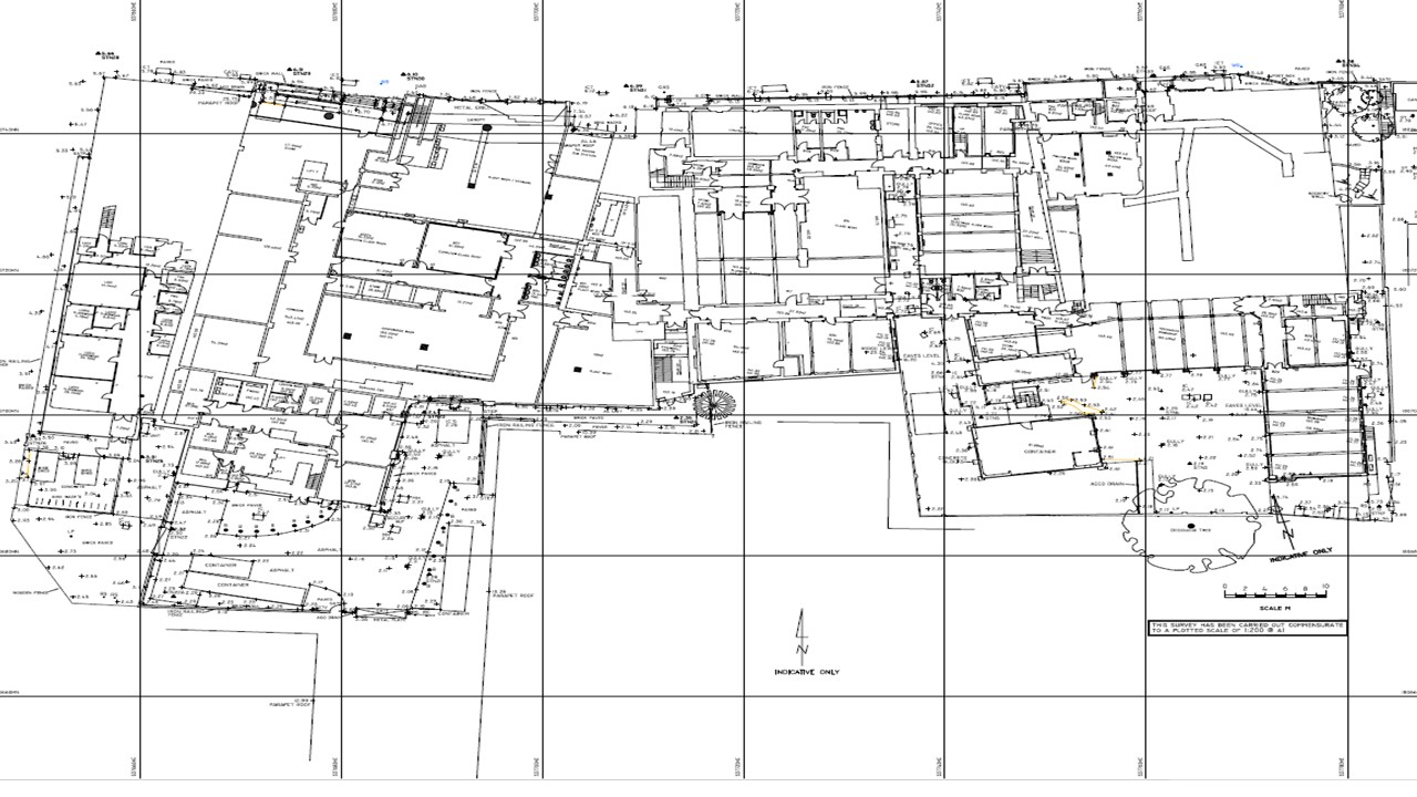
We were asked to provide full floor plans, and a topographical survey, inclusive of all utilities externally and internally over the four campuses in the London boroughs.

The timescale for the project was limited to the summer holidays, meaning all the measuring had to be completed by the start of the new semester.

Updating floor plans, utilities and services

What did we do?

We carried out the work in two phases:

  • The internal surveys and topographical surveys of all the campuses prior to the start of the new semester. In order to complete the internal and topographical survey of the campuses in the time allocated, we had to deploy our advance mobile mapping systems, which ensure speed and accuracy of measured detail collected. This method created a 3D point cloud model which was processed away from the site to produce the floor plans.  The 3D model was checked for accuracy and consistency using the robotic total stations. Roof plans were measured and drawn using the data collected from our UAS team and tied into the existing survey control network. The detailed images and point clouds produced allowed for the accurate assessment and detailed measurement of the roof plans without causing any risk to site staff from working at heights.
  • To complete internal and external utility surveys. Using our 3D handheld Ground Penetrating Radar system, we determined the existing locations of the services within the walls of each classroom and located the position of  services within the building to replace the information lost or not provided on as-built drawings.
Updating floor plans, utilities and services

The outcomes

Deliverables were in the form of AutoCAD dwg plans and PDf format showing detailed Topograpghical Surveys, Floor plans with Areas, services and Utilities.

Also provided were the gigapixel UAS  images of each site for reference.

Updating floor plans, utilities and services