The University was working with a specialist architectural firm to assess the exterior condition of one of its colleges, founded in the 14th century. The college has several Heritage structures that require inspection reports.
These would normally be manually assessed, but the position of the buildings, in a highly congested part of the city, made manual inspection unsafe, so an alternative was needed.

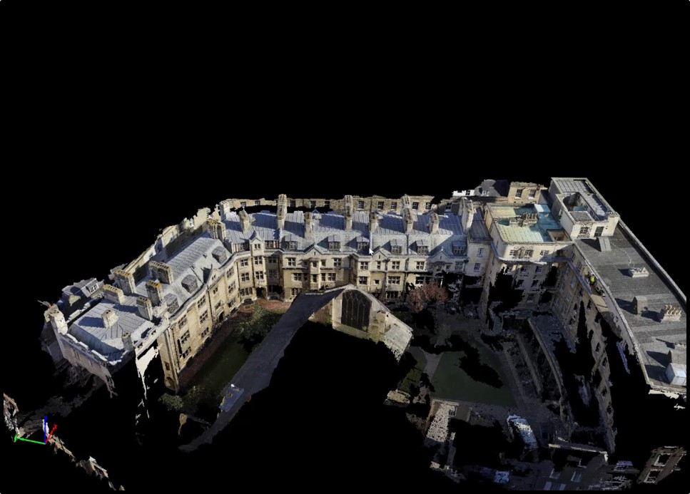
We were asked to help with two of the structures – a dormitory building and the Gate of Virtue – one of the three main gates at the college. For the dormitory building, we used a drone survey to take an entire photogrammetry run of the roof section – something that is often missed by most traditional survey companies because it is too high for pole-cameras.
We then did a traditional laser scanning survey at the base of the building to give us control data so that the project outcome was as accurate as possible and fit for surveying purposes.
The flight team worked at height, harnessed to an adjacent roof section, for two hours, taking off from the air because there was no safe take-off point on the ground. Utilisation of our unique and only known 5m safety case in the country and working at height trained personnel enabled Texo to conduct the data capture safely of around 3,500 images.

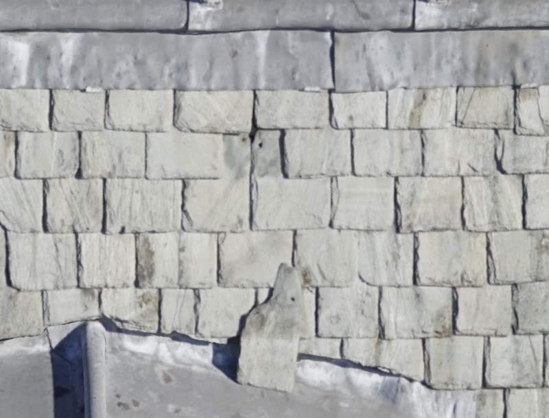
The images were used to enable 3D modelling of the dormitory building and the gate and, using orthomosaic technology to render the model to the allow the client to zoom-in on the tiniest detail – something that is ideal for detailed inspection reports and making a case for alterations or repairs to a Heritage building.


